Support OpenDurham.org

Preserve Durham's History with a Donation to Open Durham Today!

OpenDurham.org is dedicated to preserving and sharing the rich history of our community. Run by our parent nonprofit, Preservation Durham, the site requires routine maintenance and upgrades. We do not ask for support often (and you can check the box to "hide this message" in the future), but today, we're asking you to chip in with a donation toward annual maintenance of the site. Your support allows us to maintain this valuable resource, expand our archives, and keep the history of Durham accessible to everyone.

Every contribution, big or small, makes a difference and makes you a member of Preservation Durham. Help us keep Durham's history alive for future generations. 

Click here to donate today.

Home

User account menu

  • Log in
  • Register

Contribute Content

Main navigation

  • Neighborhoods
  • People & Places
  • Tours
  • About
  • Support

201 West Main Street

4 storefronts once existed where 201 West Main Street does now Left to Right, 201-203, 205, 207, and 209 West Main St., 1905 (Courtesy Duke Rare Book and Manuscript Collection. Scanned by Digital Durham) Evidently built by Richard H. Wright in 1895, 207 West Main was the first home to the Citizens Bank, which evolved from the Morehead Bank. The...
Read More

511 Morgan Street

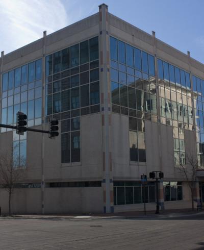
511 Morgan These buildings were all demolished by Urban Renewal in the late 1960s. The entire block is now occupied by the SouthBank building and copious parking. From the north side of Morgan, facing south, 2007.
Read More

509 Morgan Street

509 Morgan 501-509 Morgan, 09.18.52 (Courtesy the Herald-Sun) These buildings were all demolished by Urban Renewal in the late 1960s. The entire block is now occupied by the SouthBank building and copious parking.
Read More

503-507 Morgan Street

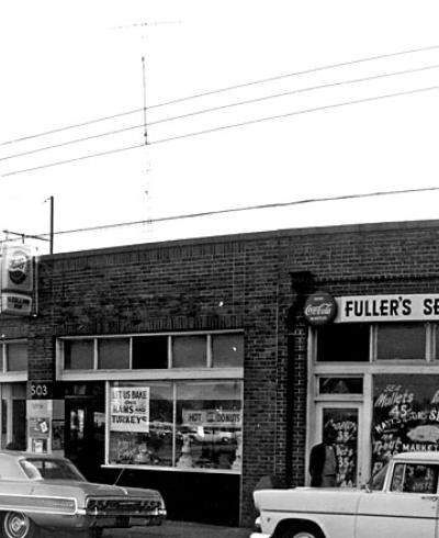
The south side of the 500 block of Morgan St. evolved from a primarily residential area during the late 1800s to a commercial strip by the late 1920s. The block face, aside from the Jones Warehouse, contained a residence and the Gospel Tabernacle in the early 1920s Looking west from Trust building - Gospel Tabernacle is the white frame building on...
Read More

Southern Railway Freight Depot

Looking northwest. Looking southwest from E. Pettigrew and Pine (S. Roxboro) (Courtesy Duke Archives) While we think of a relatively small number of early tobacco companies in Durham these days, there were many early companies, most of which fell by the wayside, one by one, as Blackwell and Duke became the predominant players. The Lyon Tobacco...
Read More

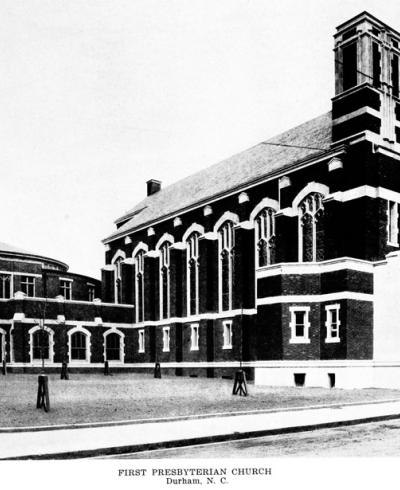
First Presbyterian Church (1916)

The First Presbyterian Church began when Dr. Richard Blacknall moved from 'Red Mountain' (Rougemont) to Durham in 1860 and persuaded Revs. James and Charles Phillips to come from Chapel Hill to hold sermons in the Trinity Methodist or First Baptist churches. His wife organized Sunday school classes in the First Baptist Church as well. The...
Read More

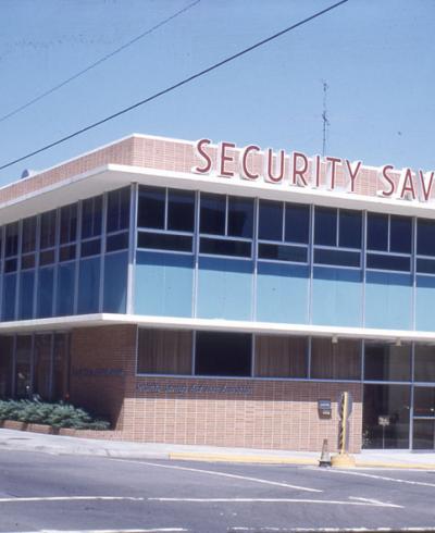
201 Roney Street - Security Savings Bank

1960s, looking northwest. (Courtesy Durham County Library)
Read More

701-703 East Main Street

701-703 East Main. These structures were all demolished by the city in the late 1960s, using urban renewal funds. Elizabeth St., as noted, was re-routed to the east to connect with the re-routed Fayetteville St. I believe that this was playground space for the public housing complexes to the north and west (Liberty St. apartments and Oldham Towers). By the late 90s, it was empty green space.
Read More

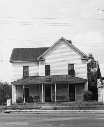
629 East Main Street

629 East Main. These structures were all demolished by the city in the late 1960s, using urban renewal funds. Elizabeth St., as noted, was re-routed to the east to connect with the re-routed Fayetteville St. I believe that this was playground space for the public housing complexes to the north and west (Liberty St. apartments and Oldham Towers). By the late 90s, it was empty green space.
Read More

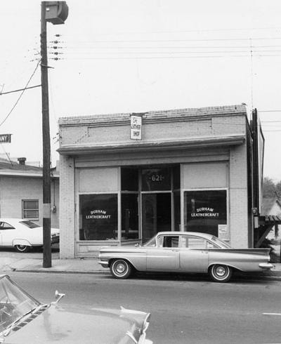
621 East Main Street

621-625 East Main. These structures were all demolished by the city in the late 1960s, using urban renewal funds. Elizabeth St., as noted, was re-routed to the east to connect with the re-routed Fayetteville St. I believe that this was playground space for the public housing complexes to the north and west (Liberty St. apartments and Oldham Towers). By the late 90s, it was empty green space.
Read More

Pagination

  • First page « First
  • Previous page ‹ Previous
  • …
  • Page 507
  • Page 508
  • Page 509
  • Page 510
  • Current page 511
  • Page 512
  • Page 513
  • Page 514
  • Page 515
  • …
  • Next page Next ›
  • Last page Last »
Subscribe to

A project from

Preservation Durham logo
Open Durham logo

Main navigation

  • Neighborhoods
  • People & Places
  • Tours
  • About
  • Support