Support OpenDurham.org

Preserve Durham's History with a Donation to Open Durham Today!

OpenDurham.org is dedicated to preserving and sharing the rich history of our community. Run by our parent nonprofit, Preservation Durham, the site requires routine maintenance and upgrades. We do not ask for support often (and you can check the box to "hide this message" in the future), but today, we're asking you to chip in with a donation toward annual maintenance of the site. Your support allows us to maintain this valuable resource, expand our archives, and keep the history of Durham accessible to everyone.

Every contribution, big or small, makes a difference and makes you a member of Preservation Durham. Help us keep Durham's history alive for future generations. 

Click here to donate today.

Home

User account menu

  • Log in
  • Register

Contribute Content

Main navigation

  • Neighborhoods
  • People & Places
  • Tours
  • About
  • Support

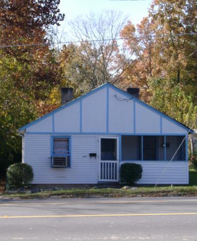
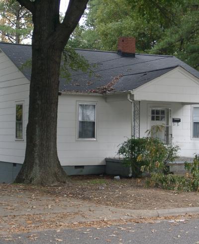
1217 N. Alston Ave.

Photograph by Preservation Durham survey volunteers, 11.14.2002. A house appears at this address on the 1937 Sanborn Fire Insurance Maps for Durham (the area was not included in earlier editions), before the section connecting Alston to Holloway further south was completed. Google Streetview shows this house present in September 2012, but gone by...
Read More

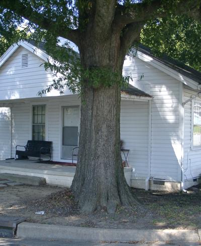
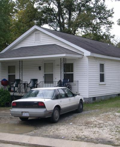
325 Gray Ave.

Photograph by Preservation Durham survey volunteers, 10.18.2002. According to county property records, this house was constructed in 1925.
Read More

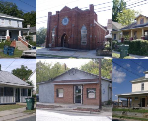
EAST END - VOLUNTEER INVENTORY (2002-2022)

A collective effort to upload 2002 survey photos to new Open Durham pages and improve documentation of this historically Black neighborhood.
Go to Tour

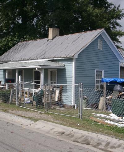
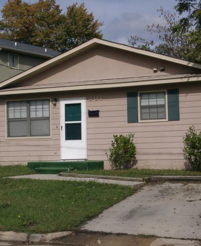
305 Wake Place

Photograph by Preservation Durham survey volunteers, 11.01.2002. According to county property records, this house was constructed in 1920. Prior to the 1930s, Wake Place was called West Alley.
Read More

611 Lee St.

Photography by Preservation Durham survey volunteers, 11.01.2002. According to county property records, this house was constructed in 1952.
Read More

1101 Gearwood Ave.

Photograph by Preservation Durham survey volunteers, 11.01.2002. According to county property records, this house was constructed in 1912.
Read More

307 Canal St.

Photograph by Preservation Durham survey volunteers, 11.01.2002. According to county property records, this house was constructed in 1985.
Read More

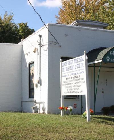
210 May St / Gray Ave

210 Gray Avenue as Greater Harvest Pentecostal Holy Bible Church of God, September 2017 (Durham County Tax Administration) This building was originally constructed in the mid-1920s as the "sanitary plant" for a laundry company, Sanitary Dry Cleaning, Inc - apparently an off-site facility for a business with a storefront at 114 North Church. A man...
Read More

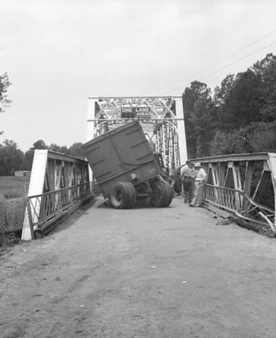
Bacon Rind Bridge

Bacon Rind Bridge over the Neuse River on US Highway 15, looking west-southwest, July 7, 1942 (photograph by Albert Barden, Courtesy of State Archives of North Carolina - collection online via flickr). A series of photographs from this summer 1942 crash - part of the fantastic Albert Barden Collection digitized by the State Archives and fascinating...
Read More

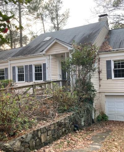
1501-1503 Virginia Ave - Dr. Clotilde Schlayer House

December 2021 (Photo by Tom Miller) This unassuming cottage on the unpaved northern portion of Virginia Avenue was the longtime home of Dr. Clotilde Schlayer, and the epicenter of a fascinating group of emigres, many of whom fled Nazi Germany to create new lives in Durham. Though German by background, Clotilde Schlayer was actually born in...
Read More

Pagination

  • First page « First
  • Previous page ‹ Previous
  • …
  • Page 2
  • Page 3
  • Page 4
  • Page 5
  • Current page 6
  • Page 7
  • Page 8
  • Page 9
  • Page 10
  • …
  • Next page Next ›
  • Last page Last »
Subscribe to

A project from

Preservation Durham logo
Open Durham logo

Main navigation

  • Neighborhoods
  • People & Places
  • Tours
  • About
  • Support