West End

West End is one of the oldest, as well as one of the largest, of Durham's neighborhoods. Its name is descriptive: for many years it was literally Durham's west end, situated southwest of the Southern Railroad line and west of Willard St. In its eastern area, West End is bordered on the south by Morehead Hill, but this boundary is not precise. It appears that the 700 and 800 blocks of Arnette Ave. and Shepherd St. were traditionally part of West End. Today, due to the changes wrought by the East-West Expressway and the fact that many of the houses in these blocks are characteristic of Morehead Hill proper, it is appropriate to consider them as part of Morehead Hill. As West End reaches farther west, it wraps around the older portions of Maplewood Cemetery to extend to its southernmost boundary of Morehead Ave.

[The above and below text in italics is from the Durham Historic and Architectural Inventory, 1980]

From its beginning, racial divisions existed in West End. East of S. Buchanan Blvd. (originally named Milton Ave.), almost all of West End traditionally was occupied by Whites; west of S. Buchanan Blvd., Blacks lived at the northern fringes of the neighborhood and made up most of its population south of W. Chapel Hill St. Lyon Park emerged early in this century when the Black-occupied portion of West End grew beyond its southern boundary of Morehead Ave.

Although West End was not depicted in the Sanborn Insurance Maps until the 1902 series, earlier city directories indicate that West End developed as early as the 1880s and probably earlier with Morehead Hill. Portions of the neighborhood may be viewed as a western counterpart to the fashionable residential neighborhood focused on Dillard and Queen streets east of downtown. Typical of Durham's early neigh- borhoods, a major thoroughfare was the site of West End's finest houses. The most elaborate houses were close to downtown, east of S. Buchanan Blvd. Entering West End from downtown via W. Chapel Hill St., one passed the large and richly decorated Queen Anne style houses of some of Durham's wealthiest business leaders, including those of Benjamin N. Duke and William T. BlackwellBlackwell's house was constructed in the Italinate style by John Waddell of Johnston County. Duke's house was moved to the north side of W. Chapel Hill St. around 1910 to make room for his new Chateauesque mansion designed by Charlotte architect C. C. Hook. Although none of these earliest houses survives, their large, irregular forms covered with a variety of ornament are recorded in documentary photographs. 

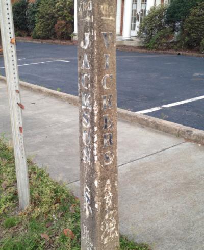
West End's 19th-century development was most dense in the triangular area bounded by the railroad tracks, W. Chapel Hill St. and S. Buchanan Blvd. It is here, in the northeast corner of West End that has been isolated from the rest of the neighborhood by the East-West Expressway, where most of West End's surviving 19th-century structures are found. Exemplified by the intact houses in the 600 block of Wilkerson Ave. and the 400 block of Vickers Ave., they are one- and two-story houses in simple forms, with patterned tin roofs and decoration restricted to chamfered and turned porch posts with sawn spandrels. It is likely that many of these houses, in the shadow of the W. Duke Sons and Company buildings, were occupied by artisans and supervisors employed in the tobacco factory. West of S. Buchanan Blvd., 19th-century residential construction was sparser and, for the most part, similar to that to the east. One notable exception is the William Thomas O'Brien house at 820 Wilkerson Ave. This two-story house, with a carefully detailed wraparound porch, was constructed on a very large lot around 1890 for O'Brien, who perfected the Bonsack cigarette rolling machine for W. Duke Sons and Company.


[This area, west of South Buchanan Boulevard, but north of West Chapel Hill street, has developed its own separate identity over the 1990s-2010s, and as of 2012 is known as Burch Avenue, a separate National Register district.]

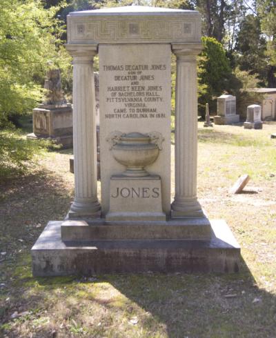
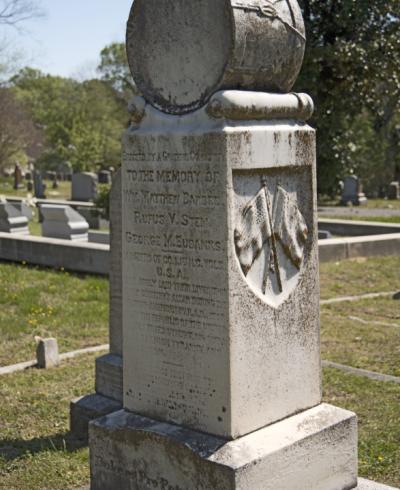
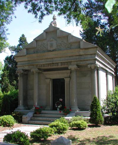
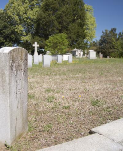
The Black-occupied portion of West End, south of West Chapel Hill St., resembles Durham's other traditionally Black neighborhoods in its hilly terrain, marked with ravines and gullies, generally considered undesirable for building sites. Most of this portion of West End occupies the eroded slopes descending from the high and level grounds of Maplewood Cemetery, platted in 1874 in what was then considered to be "out in the country." The Black community here began to evolve in the 1870s at the same time as the rest of the neighborhood. Although it never became the bustling commercial center that characterized Hayti, it did contain churches, schools and a few businesses; its residents included some of the most prominent Black businessmen in Durham. 

Perhaps the most notable Black family to make its home in West End was the Fitzgerald family, who moved to Durham from Pennsylvania via Hillsborough in the early 1880s. Richard Fitzgerald established a brickyard on Chapel Hill Road (now Kent St., near its intersection with Jackson.) By 1884 he was Durham's leading brickmaker. Around 1890, when his business interests had expanded to include real estate and banking, he moved his immediate family, then living near Hillsborough with his parents and brothers and sisters, to a palatial eighteen-room house on Gattis St. at the end of Wilkerson Ave. Named "The Maples," this large Queen Anne style house with a polygonal corner tower and Palladian attic window occupied a large tract of land distinguished by its terraced lawns. By 1937, the house had been destroyed by fire.

The Maples was not the only black occupied residence situated north of W. Chapel Hill St. Modest one-story, one room deep houses, probably rental housing built for tobacco factory workers, lined Ferrell St. along the railroad tracks. It was in the midst of this housing, away from the majority of West End's black population, that the West End Graded School was built to serve the neighborhood's black children. The rest of the Fitzgerald family soon followed Richard Fitzgerald's example and moved into Durham. Most of the family settled on or near Kent St., originally named Chapel Hill Rd. Although none of the early Kent St. homes of the Fitzgerald family survives, their cemetery on Kent St. at the edge of Maplewood Cemetery attests to their standing in the neighborhood.

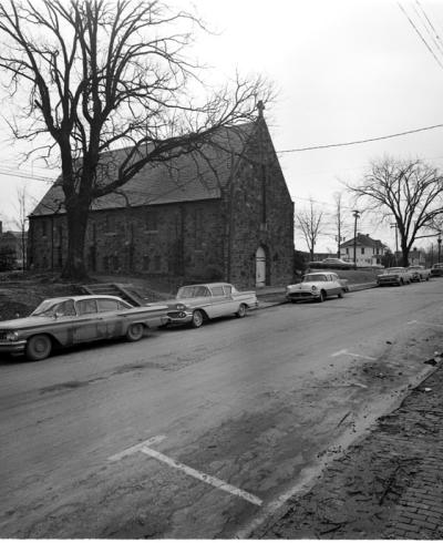
Marking the only substantial ridge in this portion of West End, Kent St., with its higher-priced building lots, naturally became the center of West End's Black community. Here, Emmanuel A.M.E. Church, the oldest surviving masonry church in Durham, was built in 1889, probably replacing an earlier frame church. Neighborhood groceries were scattered along Kent St. and the surrounding area, but the neighborhood's Black businesses gravitated toward Morehead Ave., as the White businesses appropriated W. Chapel Hill St. 

Although most of the community's black leaders built their homes on the high ground along Kent St., Richard's brother, Robert, chose an isolated tract east of Maplewood Cemetery. Robert Fitzgerald's plain story-and-a-jump home at 906 Carroll Ave. is typical of the late 19th- and early 20th-century owner-occupied houses built by most of West End's black community. In "Proud Shoes", Robert Fitzgerald's granddaughter, Pauli Murray, reports family recollections of the house being surrounded at the time of its construction in 1890 by cornfields on one side and low, swampy land known as "the bottoms" on the other. Beyond lay pine forests that separated this section of West End from Morehead Hill.

West End developed substantially in the early 20th century in response to the growth of the tobacco industry, as did the rest of Durham. Building lots were quickly filled with houses. North of W. Chapel Hill St., most of these houses were single-family units, owner-occupied by merchants and tradesmen. Several contractors, including the Teer family, lived in the neighborhood. One- and two-story basic house types, one and two rooms deep in rectangular forms, sometimes L- or T -shaped, and almost always with one-story rear ells, continued to be the norm. For the first decade or so of the century, sawnwork decoration, such as foliate span- drels and embossed spandrels on three-sided bays, continued to be popular.

One of West End's more elaborate late Victorian examples, dating from this period, is the house built by contractor Albert Wilkerson as his home at 508 S. Buchanan Blvd. It boasted a combination of sawn and turned ornament and neoclassical motifs. Gradually, the Colonial Revival style began to emerge here with the decoration of basic house types restricted to simple neoclassical elements. This trend is evident in the Tuscan porch columns of the Crumpacker House at 902 Burch Ave. and the Gaston Bradshaw House at 813 Burch Ave. 

Along W. Chapel Hill St., commercial and institutional structures increased in number. Beginning around 1910, the south side of the 800 and 900 blocks quickly developed as a commercial district of frame store buildings. On the north side of W. Chapel Hill St., just to the east of this commercial district, Durham's first Roman Catholic congregation erected the Church of the Immaculate Conception, a frame building decorated with delicate ornate sawnwork, on land donated by William Thomas O'Brien.

Prior to 1895, William Vickers had donated a lot across the street at the corner of W. Chapel Hill and Shepherd streets for a new Baptist church. BuiIt with materials provided by Vickers and William T. Blackwell, the church was first named Blackwell Baptist Church, then Second Baptist Church, and finally Temple Baptist Church, the name it retains today. The original building was replaced in the 1950s.

In 1907, two blocks east, construction was begun on a new building of the Main Street Methodist Episcopal Church. One of Durham's landmarks, this large and finely detailed brick building, in a combination of the Romanesque Revival and Gothic Revival styles, was built by local contractor Norman Underwood according to the designs of New York architect George W. Kramer. In 1925, the congregation adopted the name Duke Memorial Methodist Episcopal Church, South in honor of its benefactor, Washington Duke.

A great deal of rental housing, largely black occupied, also was erected in West End, especially at its northern edge and south of W. Chapel Hill St. Close to the Smith Warehouse along the railroad tracks, blocks of identical small, one-story frame houses were built along Ferrell, Thaxton and Rome (originally Spring) streets. Undoubtedly occupied by tobacco factory laborers, these houses were built by the tobacco industry or by private investors. Elsewhere north of W. Chapel Hill St., the dirt tract originally known as Harvard Alley and now named Exum St. was another pocket of plain, one-story frame houses occupied by factory workers.

The bulk of West End's rental housing rose south of W. Chapel Hill St., east and west of Kent St., which remained the home of black businessmen and merchants. Simple one-story frame houses, many of which were duplexes, extended down S. Buchanan, Carroll, Gattis and Gerard streets. These streets ran along the gullied hills leading to Maplewood Cemetery, which continued to expand across the area's stable terrain as Durham grew. If these gable-front or gable-end houses exhibited any embellishment at all, it was restricted to the turned or chamfered posts supporting the attached or engaged full-facade porches, plus occasional spandrels and cut-work attic vents. Also in the first couple of decades of this century, the western reaches of the neighborhood began to develop with several modest single-family houses and duplexes along Estes, Maplewood and Underwood avenues, close to the newest portion of Maplewood Cemetery.

In the 1910s, West End's black community grew beyond Morehead Ave. into an area similarly characterized by hills and ravines. Some of this low-lying land was "the bottoms" cited by Pauli Murray. Other than the high piece of land occupied by the city incinerator - now the site of the Army Reserve quarters - and the J. R. Clegg brickyard, 'operated by Richard Fitzgerald's son-in-law at the corner of Kent and Halley streets, the area had remained undeveloped. Referred to as "Needmore" in the 1920 Durham City Directory, this black community quickly developed with modest housing. Although most of the houses were built as rental property, the majority of the houses are single family dwellings with a greater variety in form and roofline than in West End. This area would become known as Lyon Park.

The 1930s witnessed the filling out of West End and Lyon Park to the edges of their present boundaries. North of W. Chapel Hill St., the newer structures typically were "builders' houses," and included many bungalows. To the south, basic house types interspersed with a few bungalows continued to be built. West End's commercial and industrial tax base also expanded. The frame stores on W. Chapel Hill St. were replaced with tapestry brick buildings; several of the corners along Chapel Hill St. and Morehead Ave. were occupied by filling stations, attesting to the ascendancy of the automobile in Durham. By the late 1930s, Cary Lumber Company, at the north end of S. Buchanan Blvd. by the railroad tracks, had expanded its woodworking facilities. Behind Duke Memorial Methodist Episcopal Church, South, Durham Dairy Products, Inc. built an ice cream manufacturing plant. On Chapel Hill Rd., at the north edge of Lyon Park, the Durham Marble Works continued to prosper. Nearby, auto repair shops and more small stores were established.

Similar to most inner-city neighborhoods, West End has experienced transitions that include decline. These changes perhaps have been sharpest in the areas traditionally characterized by rental housing. Here, the low income of residents, who include many elderly people and young people who are unemployed, and the lack of interest by absentee landlords led to deteriorated housing. In spite of this, many houses are surrounded by attractive flower gardens and shrubbery.  Some of the rental housing in the westernmost portion of West End has been destroyed to provide room for apartment complexes built by Duke University.

West End north of W. Chapel Hill St. has suffered the usual decline, due to migration of original families from the inner city and the subsequent purchase of their houses by investors for rental property, often leading to subdivision of single-family houses into apartments. The greatest physical impact on this part of the neighborhood was exerted by the construction of the East- West Expressway in the early 1970s. 

The northeastern corner of the neighborhood was isolated from the rest of West End and scores of houses were demolished, including all of the houses on Yates Ave., Thaxton Ave., the 700 block of Wilkerson Ave., the 600 block of Burch Ave., and the 600 and 700 blocks of W. Chapel Hill St. In spite of all these changes, portions of West End, such as the 800 blocks of Wilkerson and Burch avenues, remain relatively stable, due partially to the endurance of long-time owner-occupants who carefully maintain their property, as well as to newer owners who are striving to revitalize the older buildings.