Support OpenDurham.org

Preserve Durham's History with a Donation to Open Durham Today!

OpenDurham.org is dedicated to preserving and sharing the rich history of our community. Run by our parent nonprofit, Preservation Durham, the site requires routine maintenance and upgrades. We do not ask for support often (and you can check the box to "hide this message" in the future), but today, we're asking you to chip in with a donation toward annual maintenance of the site. Your support allows us to maintain this valuable resource, expand our archives, and keep the history of Durham accessible to everyone.

Every contribution, big or small, makes a difference and makes you a member of Preservation Durham. Help us keep Durham's history alive for future generations. 

Click here to donate today.

Home

User account menu

  • Log in
  • Register

Contribute Content

Main navigation

  • Neighborhoods
  • People & Places
  • Tours
  • About
  • Support

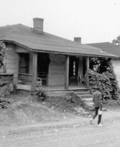
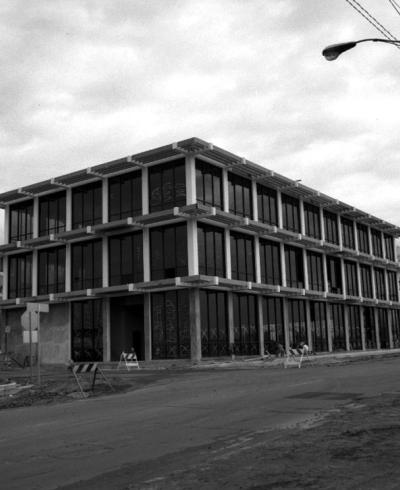
408 Poplar Street

06.65
Read More

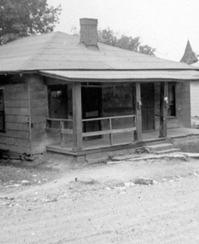
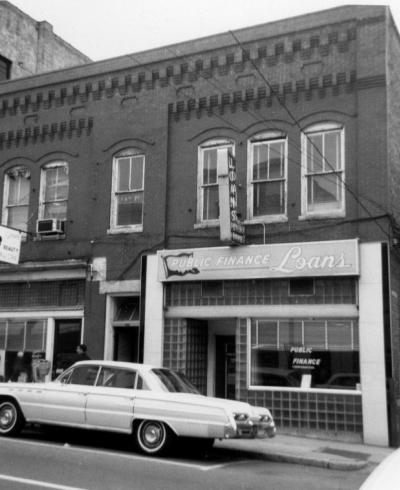
414 Poplar Street

06.65
Read More

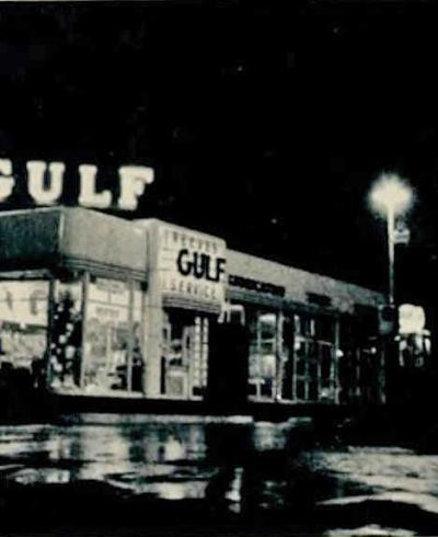
1118 West Chapel Hill Street - Reeves Gulf

Reeves Gulf Service, 1956 (Duke Chanticleer)
Read More

113-117 East Peabody

(Courtesy Duke Archives) The warehouse buildings along the 100 block of East Peabody Street (now Ramseur) were the warehouses for the Peabody Drug Company. A smaller building immediately to the east of the warehouse buildings appears to say "Durham County Progress". I'm not sure if this was a newspaper building or not. This view is looking...
Read More

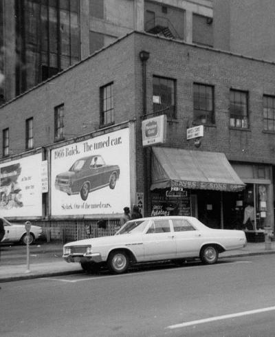
120 South Mangum Street

120 South Mangum Street, 01.66 Durham's often-noted rough-around-the-edges reputation is nothing new - in the mid-to-late 19th century, the town was well known for its multiple saloons - the place where students from the University of North Carolina would come for some less-than-genteel entertainment (many of them would disembark from the train in...
Read More

201 North Roxboro Street - Northwestern Bank

=== Looking northwest, at the intersection of Roxboro and Parrish Sts. 1924. (Courtesy Duke Archives) Roxboro St./Rd. developed as a residential street during the 1880s - one that did not extend further north than Holloway St. well into the 1890s. (Roxboro was originally called Second St., and Cleveland St. was the Person-Roxboro Rd.) Some...
Read More

112-114 North Church Street

01.66 02.66
Read More

116-118 South Mangum Street

116-118 S. Mangum, 01.66 Durham's often-noted rough-around-the-edges reputation is nothing new - in the mid-to-late 19th century, the town was well known for its multiple saloons - the place where students from the University of North Carolina would come for some less-than-genteel entertainment (many of them would disembark from the train in Durham...
Read More

206 East Parrish Street

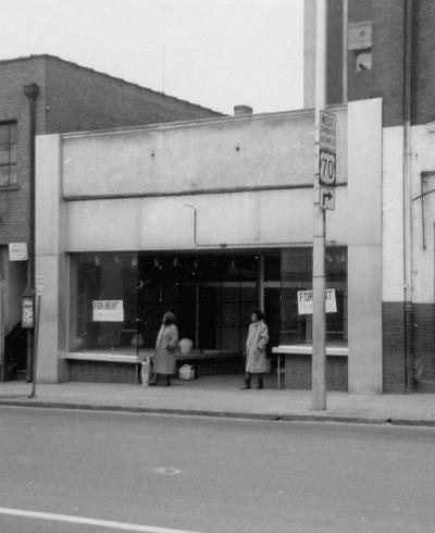
206 E Parrish There's not a lot of info about the 200 block of East Parrish St., and a lack of early pictures. The only pictures I have are from the mid-late 1960s, in the waning days of these buildings. Looking east from Church and E. Parrish. (Courtesy Durham County Library) A view from the eastern end of the block, looking southwest, 1966....
Read More

208-210 East Parrish Street

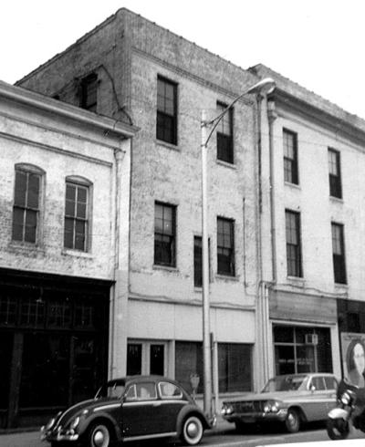
208 E. Parrish 210 E. Parrish There's not a lot of info about the 200 block of East Parrish St., and a lack of early pictures. The only pictures I have are from the mid-late 1960s, in the waning days of these buildings. Looking east from Church and E. Parrish. (Courtesy Durham County Library) For those of you who remember the Record Bar chain (not...
Read More

Pagination

  • First page « First
  • Previous page ‹ Previous
  • …
  • Page 445
  • Page 446
  • Page 447
  • Page 448
  • Current page 449
  • Page 450
  • Page 451
  • Page 452
  • Page 453
  • …
  • Next page Next ›
  • Last page Last »
Subscribe to

A project from

Preservation Durham logo
Open Durham logo

Main navigation

  • Neighborhoods
  • People & Places
  • Tours
  • About
  • Support