Support OpenDurham.org

Preserve Durham's History with a Donation to Open Durham Today!

OpenDurham.org is dedicated to preserving and sharing the rich history of our community. Run by our parent nonprofit, Preservation Durham, the site requires routine maintenance and upgrades. We do not ask for support often (and you can check the box to "hide this message" in the future), but today, we're asking you to chip in with a donation toward annual maintenance of the site. Your support allows us to maintain this valuable resource, expand our archives, and keep the history of Durham accessible to everyone.

Every contribution, big or small, makes a difference and makes you a member of Preservation Durham. Help us keep Durham's history alive for future generations. 

Click here to donate today.

Home

User account menu

  • Log in
  • Register

Contribute Content

Main navigation

  • Neighborhoods
  • People & Places
  • Tours
  • About
  • Support

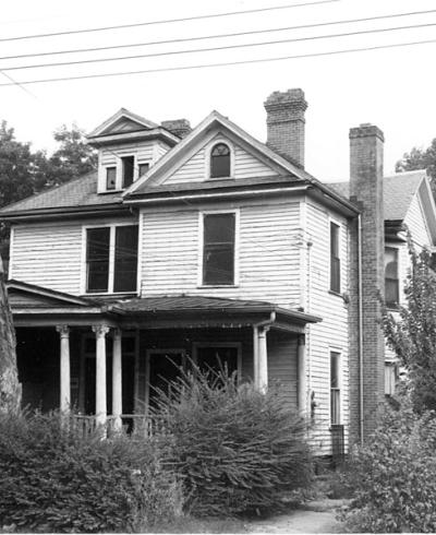
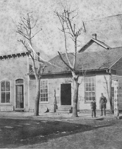
414 North Roxboro

414 Roxboro, looking ~east. So, the deal between the city and Housing for New Hope to essentially donate the eastern side of the 400 block of North Roxboro to the non-profit to construct a "10 unit apartment building for the homeless" is now public, in yesterday's Herald-Sun, which refers to the land as "nearly unusable." The catch in the 1 dollar...
Read More

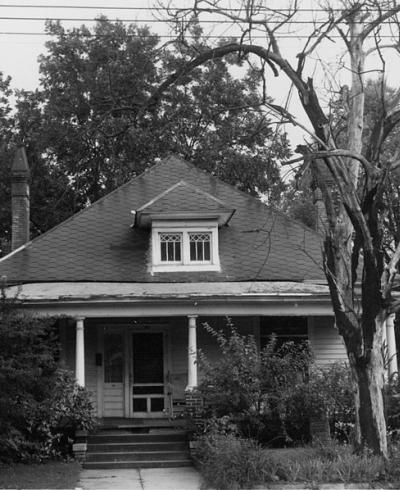
412 North Roxboro

412 Roxboro, looking ~east., 1963 So, the deal between the city and Housing for New Hope to essentially donate the eastern side of the 400 block of North Roxboro to the non-profit to construct a "10 unit apartment building for the homeless" is now public, in yesterday's Herald-Sun, which refers to the land as "nearly unusable." The catch in the 1...
Read More

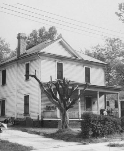
408 North Roxboro

408 Roxboro, looking ~east. So, the deal between the city and Housing for New Hope to essentially donate the eastern side of the 400 block of North Roxboro to the non-profit to construct a "10 unit apartment building for the homeless" is now public, in yesterday's Herald-Sun, which refers to the land as "nearly unusable." The catch in the 1 dollar...
Read More

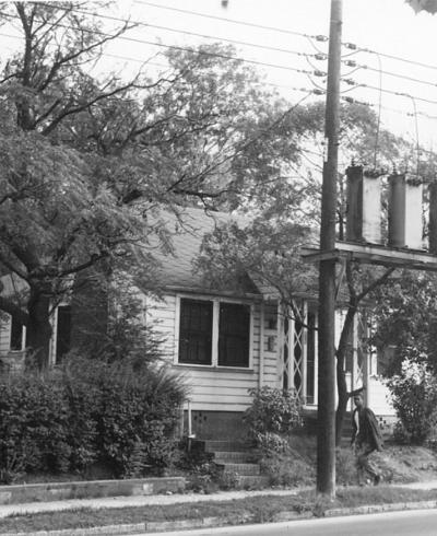
406 North Roxboro

406 Roxboro, looking ~east, 1963 So, the deal between the city and Housing for New Hope to essentially donate the eastern side of the 400 block of North Roxboro to the non-profit to construct a "10 unit apartment building for the homeless" is now public, in yesterday's Herald-Sun, which refers to the land as "nearly unusable." The catch in the 1...
Read More

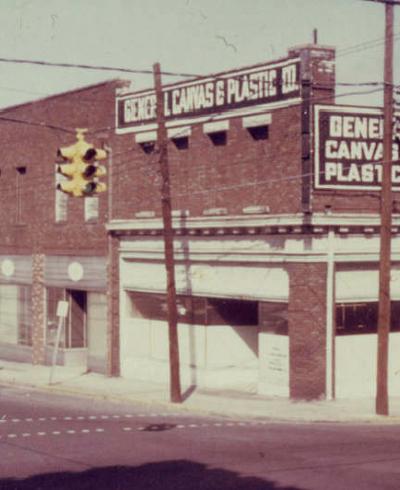
106-110 West Main St.

The intersection of Main St. and Mangum St. could be considered the center of Durham. Except for the rather odd Chapel Hill St., Main St. forms the dividing line between "North" and "South" streets, and Mangum St. the dividing line between "East" and "West" streets.
Read More

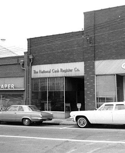
302 Morgan St.

The north side of the 400 block of Morgan (between Morris and Roney) and the north side of the 300 block of Morgan (between Roney and Foster) contained primarily small, commercial structures. Morgan St., even more so than Chapel Hill St., contained fewer retail establishments and more industrial/service-oriented businesses. Finally, a view of the block looking northeast, late 1960s.
Read More

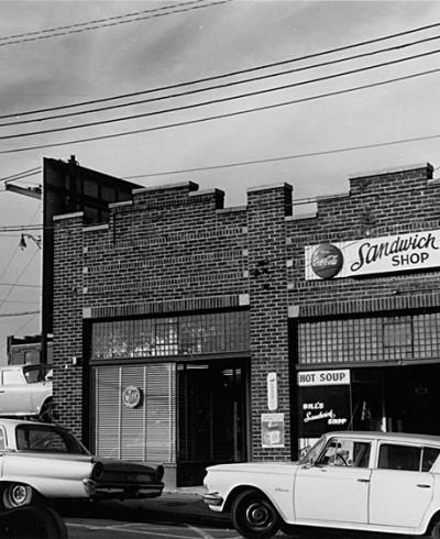
304-312 Morgan St.

The north side of the 400 block of Morgan (between Morris and Roney) and the north side of the 300 block of Morgan (between Roney and Foster) contained primarily small, commercial structures. Morgan St., even more so than Chapel Hill St., contained fewer retail establishments and more industrial/service-oriented businesses.
Read More

416-426 Morgan St.

The north side of the 400 block of Morgan (between Morris and Roney) and the north side of the 300 block of Morgan (between Roney and Foster) contained primarily small, commercial structures. Morgan St., even more so than Chapel Hill St., contained fewer retail establishments and more industrial/service-oriented businesses. The 400 block, moving from west to east: 426-428 Morgan 422 Morgan
Read More

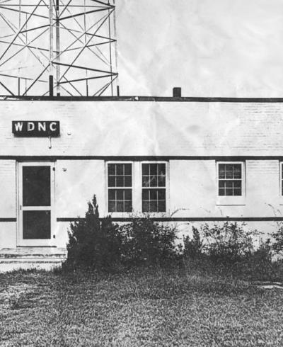
Wdnc Transmitter

(Robby Delius) In the comments below, Brian Fletcher referenced that this radio tower was used by WSSB beginning on Leap Day, 1948. You can see these call letters on the 1951 USGS topoquad. The tower is circled. Also notice that Beverly Drive in Forest Hills does not yet exist, although a structure (likely a farm house) is shown on the hillside...
Read More

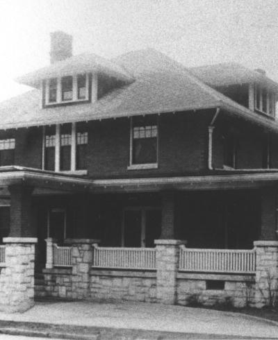
Dr. Lyle Steele Booker House

(Courtesy Durham County Library) 04.30.11
Read More

Pagination

  • First page « First
  • Previous page ‹ Previous
  • …
  • Page 460
  • Page 461
  • Page 462
  • Page 463
  • Current page 464
  • Page 465
  • Page 466
  • Page 467
  • Page 468
  • …
  • Next page Next ›
  • Last page Last »
Subscribe to

A project from

Preservation Durham logo
Open Durham logo

Main navigation

  • Neighborhoods
  • People & Places
  • Tours
  • About
  • Support