Support OpenDurham.org
Preserve Durham's History with a Donation to Open Durham Today!
OpenDurham.org is dedicated to preserving and sharing the rich history of our community. Run by our parent nonprofit, Preservation Durham, the site requires routine maintenance and upgrades. We do not ask for support often (and you can check the box to "hide this message" in the future), but today, we're asking you to chip in with a donation toward annual maintenance of the site. Your support allows us to maintain this valuable resource, expand our archives, and keep the history of Durham accessible to everyone.
Every contribution, big or small, makes a difference and makes you a member of Preservation Durham. Help us keep Durham's history alive for future generations.

Comments
Submitted by staravengers on Mon, 6/30/2014 - 4:14pm
i did not know that......!!!
Submitted by AdamL-B on Sun, 9/13/2026 - 9:36am
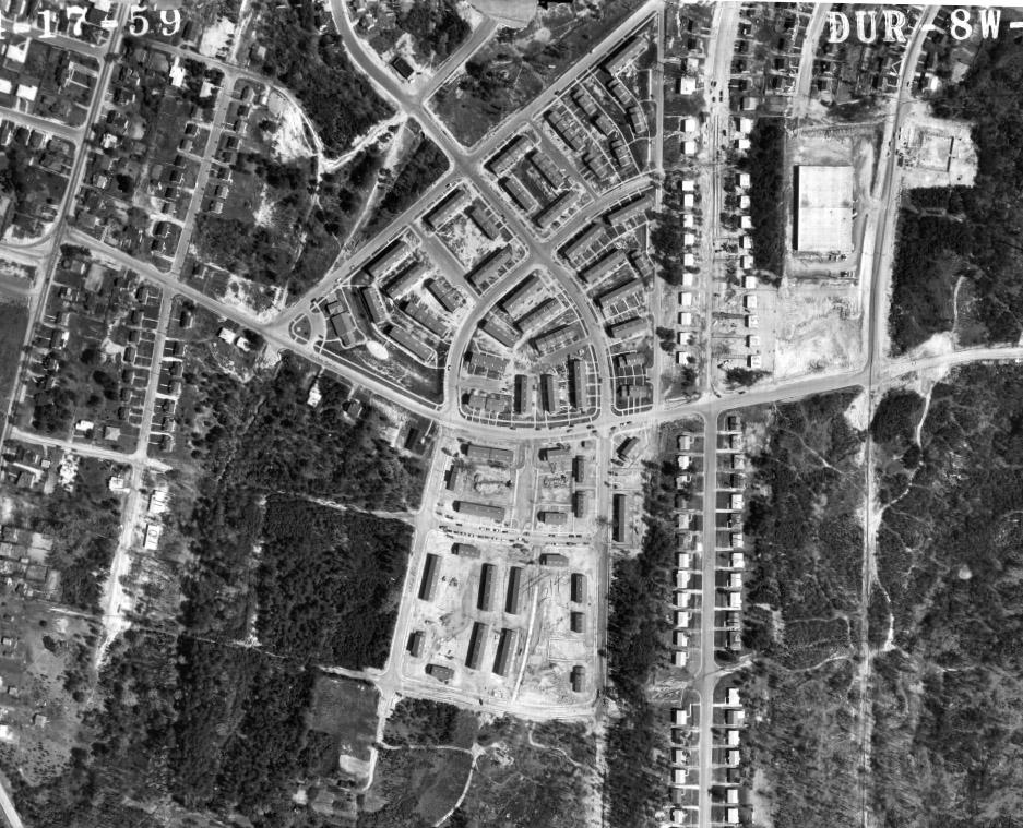
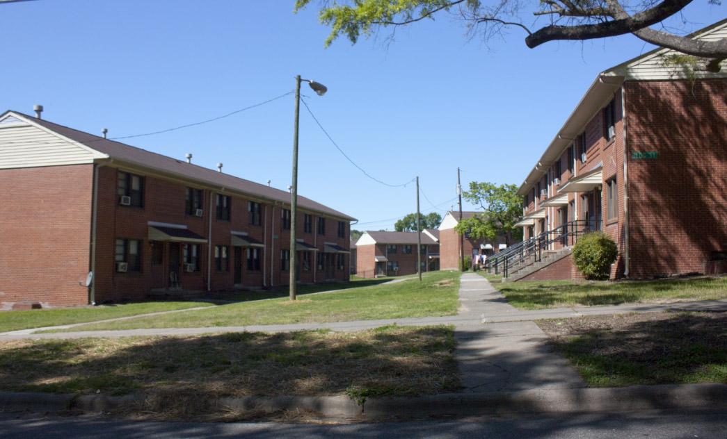
At the time of construction, this portion of E Lawson Street would have been called Braswell Street, according to public works maps of the time.
Submitted by AdamL-B on Mon, 9/14/2026 - 9:42am
Around the time that Mcdougald Terrace was built, E Lawson street would have Braswell Street. The name was changed sometime between 1957 and 1967.
Also, Durham Plat Book 9, p. 107 lists Lakeland St. as Cagle Avenue. Meanwhile the 1925 department of public works map lists it as Cagle Street. The name was changed by the time of the publication of the 1930s public works map.
Add new comment
Log in or register to post comments.