Brookstown

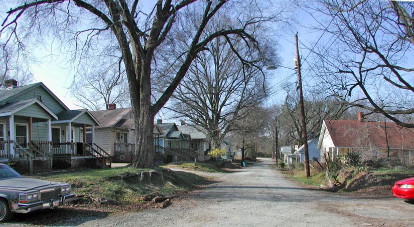
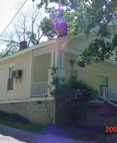
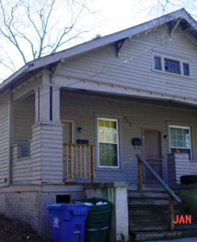
Tucked away in the farthest northern portion of West End/Burch Avenue is a somewhat hidden street named Rome Avenue. I lived in Durham for years without knowing that it was there, until I began to wonder where the houses I could see from the Durham Freeway were located.

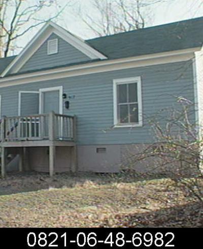
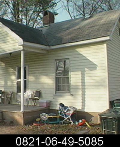
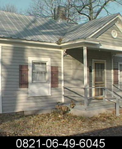
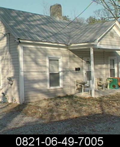
Travelling the one block from Wilkerson to Rome feels to me like entering a different world; it seems like it is very similar to how it might have looked 80 years ago. Rome Ave. really doesn't 'belong' to the West End/Burch Avenue at all, but is the easternmost remnant of the community of Brookstown.

Brookstown was located east of Swift Avenue, north of Wilkerson, south of the Smith Warehouse, and west of Milton (South Buchanan.) Some residents worked in tobacco factories and Erwin Mills while others worked at the Fitzgerald family brickyards nearby. 


Most of Brookstown is under the Durham Freeway now; the African-American community straddled Swift Avenue and extended east along Ferrell St. (now Maxwell) and Thaxton Avenue towards its diagonal intersection with Spring St. (Rome.)


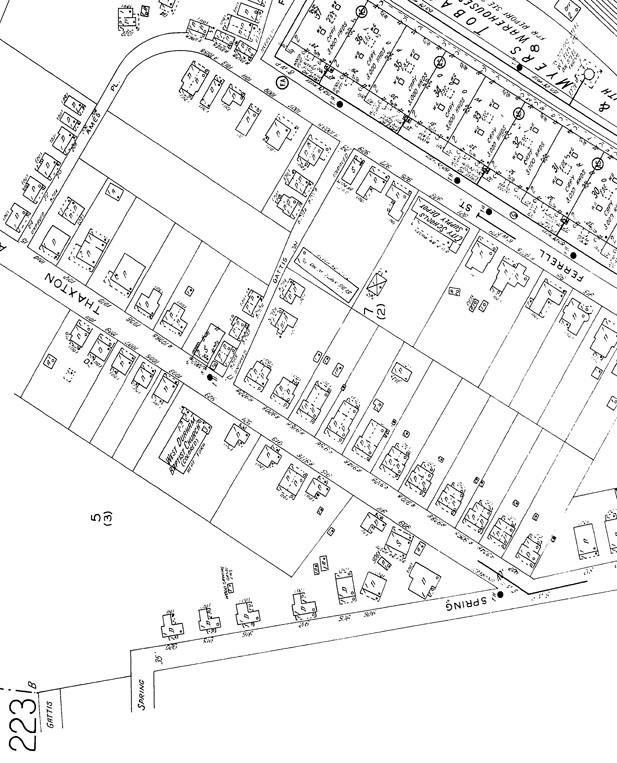
This is the 1937 Sanborn map view of the area, showing many of the houses of Brookstown, and the original street configuration.


Copyright Sanborn Insurance Co.

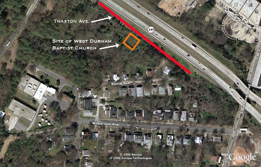
Here is a similar view today:


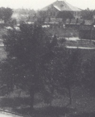
I thought for years that Thaxton and the church were under the Durham Freeway, but comparing old aerials, Sanborns, the current sattelites seems to indicate that Thaxton followed a path along the side of the Freeway, and the site of the church is still extant. If you look at the satellite, there is actually a clearing where the church was.

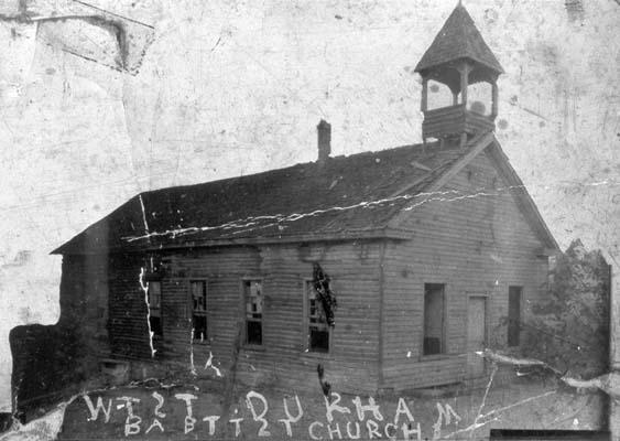
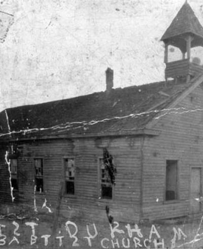
This is an 1890s picture of the church. Presumably it was refurbished/replaced at some point because I can't imagine it would have lasted another 60-70 years in this condition.


(Courtesy Durham County Library)

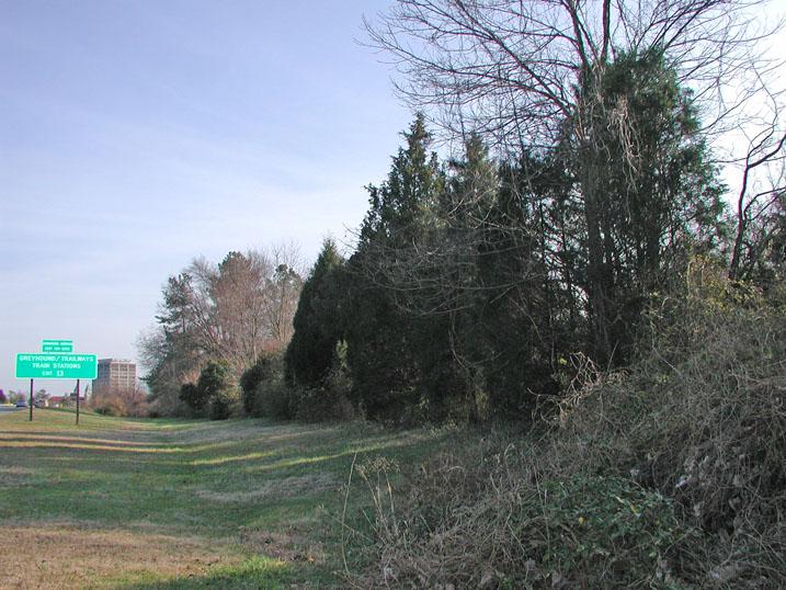
I've walked back in these woods with a friend to find the site of the church. No sign of the structure, other than the clearing. But you can see a line of cedar trees that surround the site still. Next time you are driving east on the Durham Freeway between Swift and Chapel Hill St., look for them on your right once you pass over Campus Drive.


Cedar trees at the West Durham Baptist Site, facing on what was Thaxton Ave. (looking east down Thaxton towards the former intersection with Rome/Spring.)


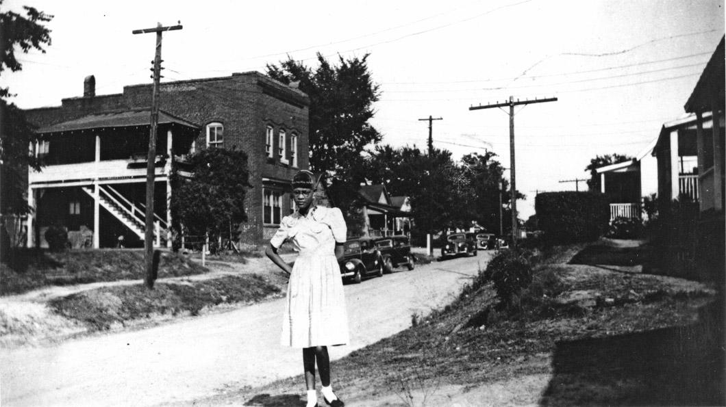
Same view, looking east on Thaxton Avenue, 1940s. You can see the obelisk street marker at the intersection of Gattis and Thaxton on the left.
(Courtesy Durham County Library)


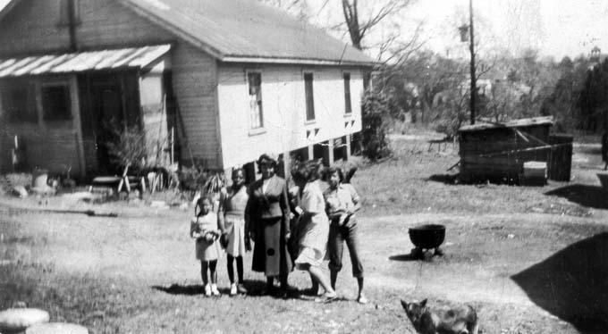
Thaxton Avenue (I believe) looking north, 1940s
(Courtesy Durham County Library)


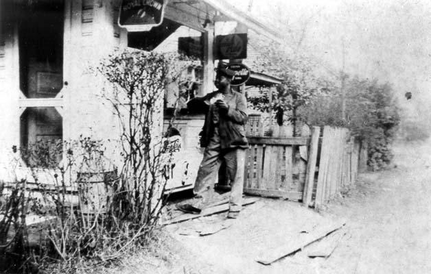
Mack's Hot Dog Stand, on Thaxton Avenue, 1940s
(Courtesy Durham County Library)


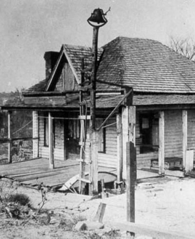
The West End School - one of three African-American schools in Durham at the turn of the 20th century - was also located in Brookstown. (The others were the original Whitted School and the East End School.)

It often seems like the discussion of historic African-American life in Durham, and African-American neighborhoods begins and ends with Hayti - or potentially, the later neighborhoods such as Lincoln Hospital, Dunstan, and College View.

The stories of Lyon Park, 'the Bottoms,' the East End, Brookstown, Hickstown, etc. seems to be left untold. And while the  story of Hayti's destruction by the Durham Freeway is oft-repeated (it was mostly destroyed by Urban Renewal,) few people talk about the loss of Brookstown, which was fairly decimated by the Durham Freeway.