35.997364, -78.905192

The 'wide end' of the western Five Points was residential property until the early-mid 1920s
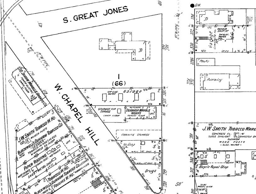
1913 Sanborn map showing the western triangle of Five Points and the large residential structure at its western end.
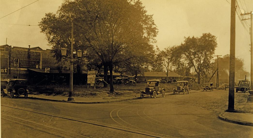
By 1925, the large house had been torn down, and the land was set for auction.
Looking southeast from Great Jones St. and West Main St., 09.30.25
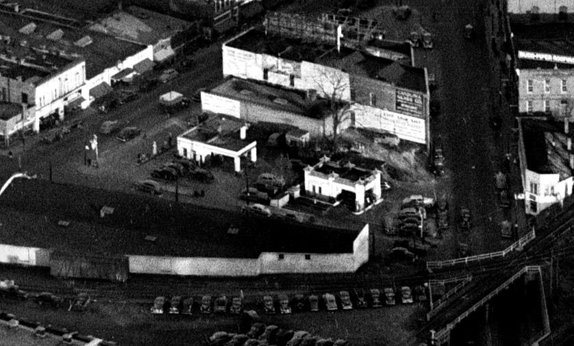
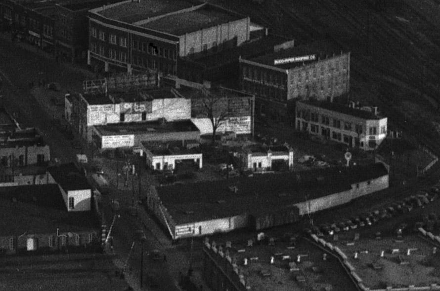
The land was eventually subdivided into three parcels, and developed into two gas stations (the other one is here) and a small commercial structure.
Looking east, 1948.
Looking east-southeast, 1948.
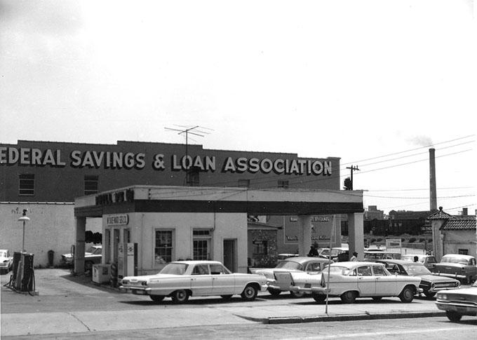
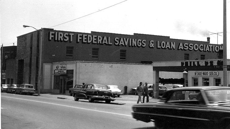
The service station on the southeast corner of Great Jones and West Main St. was the McDade-Ward Phillips 66 station.
Looking east-southeast from Great Jones - the Lucky Strike smokestack is in the background, 1963
Looking southeast, early 1960s
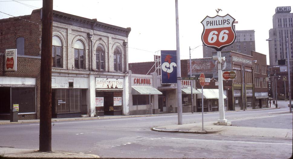
The shot below is looking northeast from the west side of Great Jones St., towards the north side of the 400 block. Although the gas station building isn't visible, the sign is.
Looking east, late 1960s / 1970.
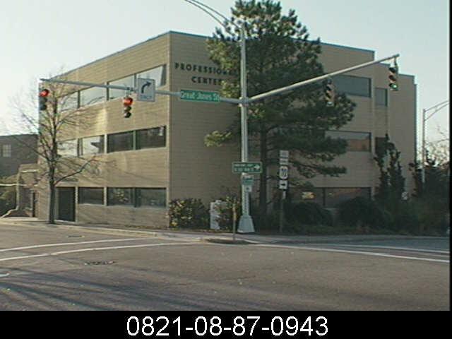
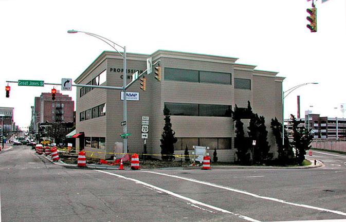
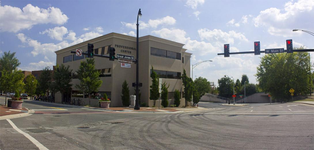
The service station was acquired by the Redevelopment Commission as part of Urban Renewal and sold to Relaw, Inc. in 1972. The service station was torn down, and the "Professional Center" was erected in its place, completed in 1974.
Pre-2004 tax photo.
I wouldn't say that I'm an architectural purist, which means that I'm a fan of the cornice added to this building by the new owners who purchased the structure in 2004. It's interesting how we change our views of architectural style such that we're trying to make a 1970s modern building resemble a 1900s commercial building in the 2000s.
Looking east, 2007.
09.12.10
Find this spot on a Google Map.
35.997364,-78.905192
Add new comment
Log in or register to post comments.