At what is now the intersection of Anderson Street and Duke University Road, Rigsbee Road continued westward along a path cutting diagonally across the current Duke University West Campus, intersecting with 751 at the current cross country trail. The TJ Rigsbee (Sr.) farmhouse and barn stood near the Duke football stadium on the present-day campus.
TJ Rigsbee had three wives, and only the third was still living when Murray Jones came calling as an agent of James B. Duke in 1924. I've written previously about the failed attempt to buy land between Trinity College and Watts Hospital to build Duke University, and William Preston Few's familiarity with the Rigsbee land.
Jones paid $200,771 for 399.68 acres of land from the TJ Rigsbee estate. Rigsbee's estate made up the bulk of the original West Campus, but it was hardly the only land purchased by the Dukes for the university; Jones' many transactions stretch throughout 1925, and the original Duke University plat makes clear the number of parcels combined. I've overlaid this plat on Google Earth imagery - you can see the course of Rigsbee Road on this map.
Duke University plat, February 1925.
I wish the picture below was higher resolution. The 1929 photo shows the new west campus under construction in 1929 to the left. Rigsbee Road ~bisects the picture, and you can see the new course of Duke University Road snaking into the right foreground. The stadium area is evident near Rigsbee Road. This natural ravine was where the Rigsbee family kept their pigs. Although not sharp enough to be distinguishable, the buildings and roads of the old farmstead are visible just past the stadium.
1929 aerial, looking northeast.
THOMAS J RIGSBEE FARM / DUKE UNIVERSITY WEST CAMPUS
Large farmland of the TJ Rigsbee family was bought by James B. Duke / Trinity College for the construction of Duke University
In tours
- Houses of Old Duke Forest by gary, Wed, 08/24/2011 - 11:49am
Last updated
- Wed, 03/13/2019 - 6:13pm by gary
Comments
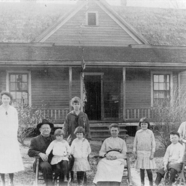
Rigsbee House, 1912 (Courtesy Keith Bowden)
Pictured, left-to-right: 1 Mary Tom Rigsbee; 2 Jesse Albert Rigsbee; 3 Carrie Rigsbee (in lap of Jesse); 4 Nellie Brogden (niece of Jenny Rigsbee); 5 Mabel Rigsbee; 6 Eugenia 'Jenny' Blalock Rigsbee; 7 Faye Rigsbee; 8 Norman Rigsbee (seated); 9 Jack Rigsbee (standing); 10 Boyd George Brogden (seated -- nephew of Jenny Rigsbee)
Rigsbee Barn, 1912 (Courtesy Keith Bowden)
Pictured, left-to-right: 1 Mabel Rigsbee; 2 Eugenia 'Jenny' Blalock Rigsbee; 3 Carrie Rigsbee; 4 Nancy Rigsbee; 5 Faye Rigsbee; 6 Nellie Brogden (niece of Jenny Rigsbee); 7 Mary Tom Rigsbee; 8 Boy on horseback; 9 Norman Rigsbee; 10 Jesse Albert Rigsbee; 11 Boyd George Brogden (nephew of Jenny Rigsbee); 12 Jack Rigsbee
Collectively, the Rigsbee family owned a huge amount of what would become Durham. Atlas Monroe Rigsbee, who owned much of Morehead HIll prior to selling it off to William Vickers, lived on the northwest corner of what is now East Chapel Hill Street and the eponymous Rigsbee Avenue. His farmstead stretched to the northeast, taking in much of Mangum St. and Cleveland Holloway. His brother, Thomas J Rigsbee (5/20/1846 - 3/23/1917), owned large tracts of land west of Durham. Both were sons of Jesse Rigsbee (6/22/1808 - 2/1/1881) and Mary Vickers Rigsbee. Given that there was another Jesse Rigsbee in eastern Orange County that served in the Revolutionary War, the Rigsbees have a very long tenure in these parts.
At what is now the intersection of Anderson Street and Duke University Road, Rigsbee Road continued westward along a path cutting diagonally across the current Duke University West Campus, intersecting with 751 at the current cross country trail and continuing westward. The TJ Rigsbee (Sr.) farmhouse and barn stood near the Duke football stadium on the present-day campus.
TJ Rigsbee had three wives, and only the third was still living when Murray Jones came calling as an agent of James B. Duke in 1924. I've written previously about the failed attempt to buy land between Trinity College and Watts Hospital to build Duke University, and William Preston Few's familiarity with the Rigsbee land.
Jones paid 0,771 for 399.68 acres of land from the TJ Rigsbee estate. Rigsbee's estate made up the bulk of the original West Campus, but it was hardly the only land purchased by the Dukes for the university; Jones' many transactions stretch throughout 1925, and the original Duke University plat makes clear the number of parcels combined. I've overlaid this plat on Google Earth imagery - you can see the course of Rigsbee Road on this map.
Duke University plat, February 1925.
I wish the picture below was higher resolution. The 1929 photo shows the new west campus under construction in 1929 to the left. Rigsbee Road ~bisects the picture, and you can see the new course of Duke University Road snaking into the right foreground. The stadium area is evident near Rigsbee Road. This natural ravine was where the Rigsbee family kept their pigs. Although not sharp enough to be distinguishable, the buildings and roads of the old farmstead are visible just past the stadium.
1929 aerial, looking northeast.
(Courtesy Duke Rare Book and Manuscript Collection)
Trumbauer/Abele's rendering of Duke's West Campus.
(Courtesy Duke Rare Book and Manuscript Collection)
West Campus under construction.
(Courtesy Duke Rare Book and Manuscript Collection)
The site of the farmstead is now parking lot for the university.
Approximate site of the TJ Rigsbee House, 06.14.11
Approximate site of the TJ Rigsbee Farm, 06.14.11
The only remnant of the Rigsbee farm is the family cemetery, which sits on the southern side of one of the surface parking lots.
Graveyard entrance, 06.14.11
The family retained ownership of the graveyard when the Dukes/Trinity College purchased the site. It remains in the family (and maintained by the family) today.
06.14.11
There are four rough stones in the cemetery which are, per family history, linked to the unidentified bodies of Confederate soldiers.
A Rigsbee relative remembered that it was here that three Confederate soldiers were buried, their bodies having been found following one of the last skirmishes in the area. Only their soiled uniforms indicated they were soldiers. The Rigsbees washed the uniforms, redressed the bodies, and buried them in this family cemetery, saying, 'Hopefully, someone will do the same for our folks.'
Confederate burials, 06.14.11
Rigsbee Cemetery, 06.14.11
Many thanks to Rigsbee descendants Johnny Rigsbee and Keith Bowden for educating me on the history of the site and their family
TJ Rigsbee's great-grandson, Johnny Rigsbee and great-great grandson, Keith Bowden
Add new comment
Although Jesse / TJ Rigsbee's holdings formed the largest part of Duke's acquisitions for West Campus, they were by no means the only ones. Jones continued to acquire land - far in excess of what was necessary for the initial program of the campus, simply because the land was so cheap, Buck Duke's money was plentiful, and it was better to err on the side of too much land than too little. As a result, even after the construction of West Campus, there were hundreds of acres left as farmland or second generation forest. Much of this area was sparsely settled farmland, punctuated by rural housing at regular intervals.
Although the medical center, athletic facilities, and the Washington Duke Hotel have expanded into some of this territory, and development of 15-501 and along 751 have changed some portions considerably, much of it is used by Duke Forest, the managed forest of Duke University, giving it a still-rural character and a relatively 'undisturbed' appearance due to large scale ownership by Duke. Much of the housing in the area is now gone, although a few specimens survive.
Rigsbee Road, looking southwest from 751 (Courtesy Library of Congress)
Some of the original housing pattern is still evident along Old Erwin Road, infilled with 1950s and later housing, churches, etc., and increasingly, large subdivisions with the single entry point off of Old Erwin. Vestiges remain though - Rigsbee Road (this section later referred to as "Old Rigsbee") led from 751, intersected with Forest Road, and continued on to Erwin (now 'Old Erwin') although it appears that this was at times referred to as Rigsbee. Erwin continued on a more direct path from 'Old Erwin' to the wide Erwin Road that connects 9th street with 751. the new Erwin Road path was constructed in 1949 with the expansion of Duke Medical Center - particularly the Nurse's Dormitory and the VA Hospital
The orange is the path of Rigsbee from 751 to its intersection with the former Forest Road, highlighted in pink. The former continuation of Rigsbee is now called "Lemur Lane", as is the former Forest Road leading south to Cornwallis. Part of the former path of Erwin Road is shown in blue.
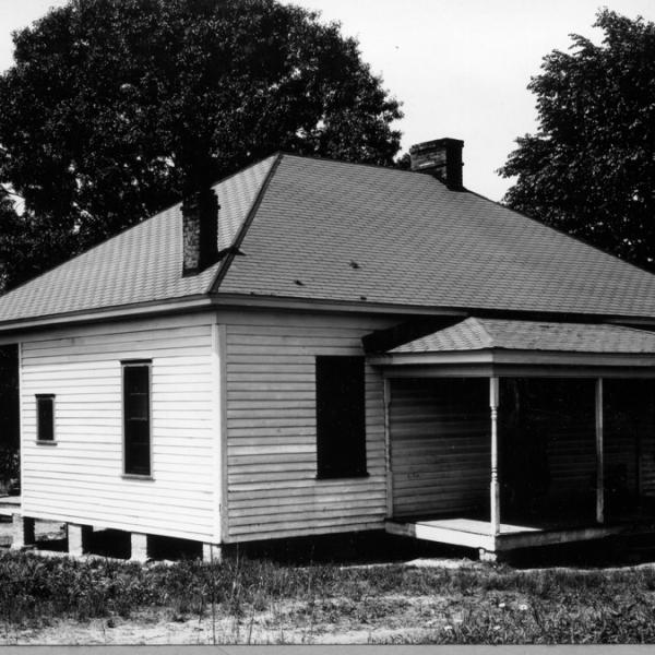
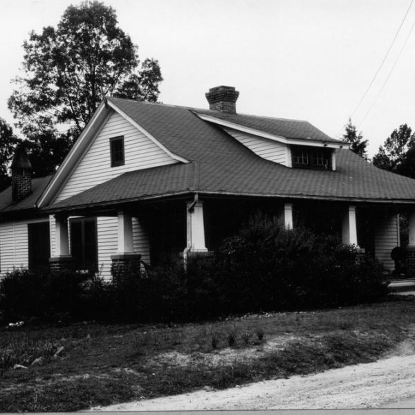
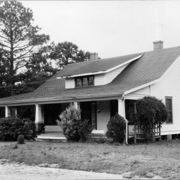
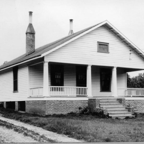
After the 15-501 bypass was built in the 1950s, Rigsbee Road was severed. Extensively catalogued by Duke Forest management in the 1930s, many of the houses along Rigsbee and Forest were lost - I don't know whether there was a program of demolition after Duke acquired the land. Most of the houses in this area are below, from the Duke Forest Collection
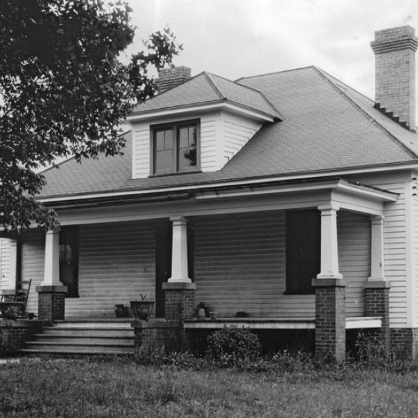
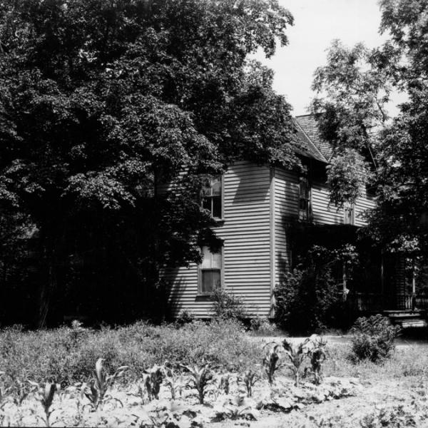
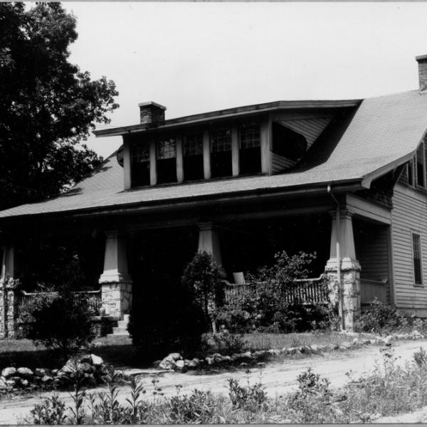
THOMAS E. RIGSBEE (JUNIOR?) HOUSE - RIGSBEE ROAD AT FOREST ROAD
Comments
No comments yet.
Add new comment
In tours
- Houses of Old Duke Forest by gary, Wed, 08/24/2011 - 11:49am
Last updated
- Wed, 08/24/2011 - 11:38am by gary
Comments
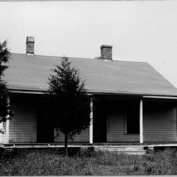
TE Rigsbee House, "in SW corner at intersection of Old Rigsbee Road and Forest Road leading to Cornwallis", June 1940
The geography of southwest Durham in the area of Duke Forest and the southwest portion of Duke's west campus has changed considerably since the early, despite its relatively 'undisturbed' appearance due to large scale ownership by Duke. Although Duke Forest (the forest, not the neighborhood) is a wooded area with some occasional incursions by the back of a subdivision, it was a sparsely settled and farmed rural area in the early 20th century, punctuated by rural housing at regular intervals.
Rigsbee Road, looking southwest from 751 (Courtesy Library of Congress)
Some of this pattern is still evident along Old Erwin Road, infilled with 1950s and later housing, churches, etc., and increasingly, large subdivisions with the single entry point off of Old Erwin. Vestiges of the old patterns remain though - Rigsbee Road (this section later referred to as "Old Rigsbee") led from 751, intersected with Forest Road, and continued on to Erwin (now 'Old Erwin') although it appears that this was at times referred to as Rigsbee. Erwin continued on a more direct path from 'Old Erwin' to the wide Erwin Road that connects 9th street with 751. the new Erwin Road path was constructed in 1949 with the expansion of Duke Medical Center - particularly the Nurse's Dormitory and the VA Hospital
The orange is the path of Rigsbee from 751 to its intersection with the former Forest Road, highlighted in pink. The former continuation of Rigsbee is now called "Lemur Lane", as is the former Forest Road leading south to Cornwallis. Part of the former path of Erwin Road is shown in blue. After the 15-501 bypass was built in the 1950s, Rigsbee Road was severed. Extensively catalogued by Duke Forest management in the 1930s, many of the houses along Rigsbee and Forest were lost - I don't know whether there was a program of demolition after Duke acquired the land.
The eastern portion of Rigsbee Road has been a part of the Duke Cross Country trail (around the Washington Duke golf course / hotel) since it was built in ~1990. If you park off of 751 and walk counter-clockwise down to the bridge, the trail takes an abrupt left turn. However, you can continue straight, which will take you out to 15-501. Along this section, the old asphalt of the road is still visible. The western portion of the road remains accessible from Old Erwin as "Lemur Lane", and serves as the access to the Duke Lemur Center. Where it meets 15-501 is the entry to the Center. The road leading through here to Cornwallis is the former Forest Road. At the intersection still stands one vestige of the old character of rural southwest Durham - the TE Rigsbee house. Looking southwest, 06.26.10
Add new comment
MAL TURNER HOUSE
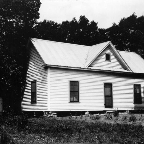
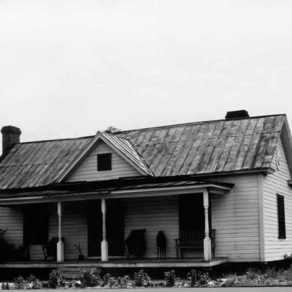
"First house along eastern spur of Forest Road b/t old Rigsbee and Cornwallis," June 1940
Comments
No comments yet.
Add new comment
In tours
- Houses of Old Duke Forest by gary, Wed, 08/24/2011 - 11:49am
Last updated
- Wed, 08/24/2011 - 11:50am by gary
Comments
Mal Turner Place. First house along eastern spur of Forest Road b/t old Rigsbee and Cornwallis, June 1940
The geography of southwest Durham in the area of Duke Forest and the southwest portion of Duke's west campus has changed considerably since the early, despite its relatively 'undisturbed' appearance due to large scale ownership by Duke. Although Duke Forest (the forest, not the neighborhood) is a wooded area with some occasional incursions by the back of a subdivision, it was a sparsely settled and farmed rural area in the early 20th century, punctuated by rural housing at regular intervals.
Rigsbee Road, looking southwest from 751
(Courtesy Library of Congress)
Some of this pattern is still evident along Old Erwin Road, infilled with 1950s and later housing, churches, etc., and increasingly, large subdivisions with the single entry point off of Old Erwin. Vestiges of the old patterns remain though - Rigsbee Road (this section later referred to as "Old Rigsbee") led from 751, intersected with Forest Road, and continued on to Erwin (now 'Old Erwin') although it appears that this was at times referred to as Rigsbee. Erwin continued on a more direct path from 'Old Erwin' to the wide Erwin Road that connects 9th street with 751. the new Erwin Road path was constructed in 1949 with the expansion of Duke Medical Center - particularly the Nurse's Dormitory and the VA Hospital
The orange is the path of Rigsbee from 751 to its intersection with the former Forest Road, highlighted in pink. The former continuation of Rigsbee is now called "Lemur Lane", as is the former Forest Road leading south to Cornwallis. Part of the former path of Erwin Road is shown in blue. After the 15-501 bypass was built in the 1950s, Rigsbee Road was severed. Extensively catalogued by Duke Forest management in the 1930s, many of the houses along Rigsbee and Forest were lost - I don't know whether there was a program of demolition after Duke acquired the land. Most of the houses in this area are below, from the Duke Forest Collection.
Add new comment
GAINEY HOUSE
Comments
No comments yet.
Add new comment
In tours
- Houses of Old Duke Forest by gary, Wed, 08/24/2011 - 11:49am
Last updated
- Wed, 08/24/2011 - 8:01am by gary
Comments
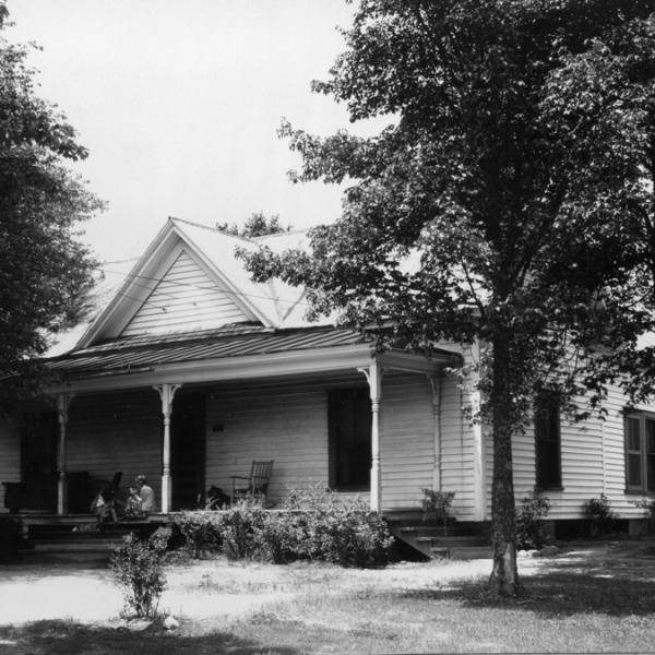
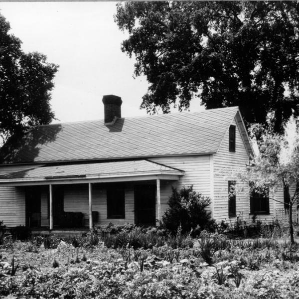
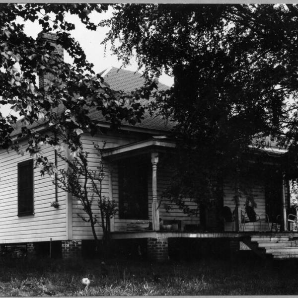
Gainey House - In NW corner of intersection of Pinecrest and Chapel Hill Roads, June 1940
The geography of southwest Durham in the area of Duke Forest and the southwest portion of Duke's west campus has changed considerably since the early, despite its relatively 'undisturbed' appearance due to large scale ownership by Duke. Although Duke Forest (the forest, not the neighborhood) is a wooded area with some occasional incursions by the back of a subdivision, it was a sparsely settled and farmed rural area in the early 20th century, punctuated by rural housing at regular intervals. Rigsbee Road, looking southwest from 751 (Courtesy Library of Congress) Some of this pattern is still evident along Old Erwin Road, infilled with 1950s and later housing, churches, etc., and increasingly, large subdivisions with the single entry point off of Old Erwin. Vestiges of the old patterns remain though - Rigsbee Road (this section later referred to as "Old Rigsbee") led from 751, intersected with Forest Road, and continued on to Erwin (now 'Old Erwin') although it appears that this was at times referred to as Rigsbee. Erwin continued on a more direct path from 'Old Erwin' to the wide Erwin Road that connects 9th street with 751. the new Erwin Road path was constructed in 1949 with the expansion of Duke Medical Center - particularly the Nurse's Dormitory and the VA Hospital
The orange is the path of Rigsbee from 751 to its intersection with the former Forest Road, highlighted in pink. The former continuation of Rigsbee is now called "Lemur Lane", as is the former Forest Road leading south to Cornwallis. Part of the former path of Erwin Road is shown in blue. After the 15-501 bypass was built in the 1950s, Rigsbee Road was severed. Extensively catalogued by Duke Forest management in the 1930s, many of the houses along Rigsbee and Forest were lost - I don't know whether there was a program of demolition after Duke acquired the land. Most of the houses in this area are below, from the Duke Forest Collection.
Add new comment
LOG CABIN - 751 AND OLD CHAPEL HILL
Comments
No comments yet.
Add new comment
In tours
- Houses of Old Duke Forest by gary, Wed, 08/24/2011 - 11:49am
Last updated
- Wed, 08/24/2011 - 8:05am by gary
Comments
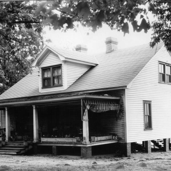
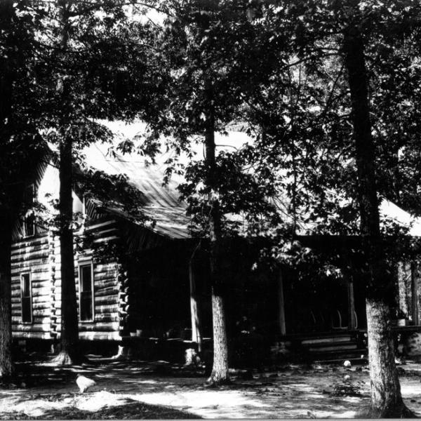
Log Cabin - In NE corner at intersection of NC 751 and Chapel Hill Rd.
The geography of southwest Durham in the area of Duke Forest and the southwest portion of Duke's west campus has changed considerably since the early, despite its relatively 'undisturbed' appearance due to large scale ownership by Duke. Although Duke Forest (the forest, not the neighborhood) is a wooded area with some occasional incursions by the back of a subdivision, it was a sparsely settled and farmed rural area in the early 20th century, punctuated by rural housing at regular intervals.
Rigsbee Road, looking southwest from 751 (Courtesy Library of Congress)
Some of this pattern is still evident along Old Erwin Road, infilled with 1950s and later housing, churches, etc., and increasingly, large subdivisions with the single entry point off of Old Erwin. Vestiges of the old patterns remain though - Rigsbee Road (this section later referred to as "Old Rigsbee") led from 751, intersected with Forest Road, and continued on to Erwin (now 'Old Erwin') although it appears that this was at times referred to as Rigsbee. Erwin continued on a more direct path from 'Old Erwin' to the wide Erwin Road that connects 9th street with 751. the new Erwin Road path was constructed in 1949 with the expansion of Duke Medical Center - particularly the Nurse's Dormitory and the VA Hospital The orange is the path of Rigsbee from 751 to its intersection with the former Forest Road, highlighted in pink.
The former continuation of Rigsbee is now called "Lemur Lane", as is the former Forest Road leading south to Cornwallis. Part of the former path of Erwin Road is shown in blue. After the 15-501 bypass was built in the 1950s, Rigsbee Road was severed. Extensively catalogued by Duke Forest management in the 1930s, many of the houses along Rigsbee and Forest were lost - I don't know whether there was a program of demolition after Duke acquired the land. Most of the houses in this area are below, from the Duke Forest Collection
Add new comment
BESSIE PASCHALL HOUSE
Comments
No comments yet.
Add new comment
In tours
- Houses of Old Duke Forest by gary, Wed, 08/24/2011 - 11:49am
Last updated
- Wed, 08/24/2011 - 8:40am by gary
Comments
The geography of southwest Durham in the area of Duke Forest and the southwest portion of Duke's west campus has changed considerably since the early, despite its relatively 'undisturbed' appearance due to large scale ownership by Duke. Although Duke Forest (the forest, not the neighborhood) is a wooded area with some occasional incursions by the back of a subdivision, it was a sparsely settled and farmed rural area in the early 20th century, punctuated by rural housing at regular intervals.
Bessie Paschall house - about 300 yds north of Cornwallis
Add new comment
JT BURROUGHS PLACE
Comments
No comments yet.
Add new comment
In tours
- Houses of Old Duke Forest by gary, Wed, 08/24/2011 - 11:49am
Last updated
- Wed, 08/24/2011 - 8:44am by gary
Comments
The geography of southwest Durham in the area of Duke Forest and the southwest portion of Duke's west campus has changed considerably since the early, despite its relatively 'undisturbed' appearance due to large scale ownership by Duke. Although Duke Forest (the forest, not the neighborhood) is a wooded area with some occasional incursions by the back of a subdivision, it was a sparsely settled and farmed rural area in the early 20th century, punctuated by rural housing at regular intervals.
JT Burroughs Place - First house along Forest Road b/t old Rigsbee and Cornwallis
The orange is the path of Rigsbee from 751 to its intersection with the former Forest Road, highlighted in pink. The former continuation of Rigsbee is now called "Lemur Lane", as is the former Forest Road leading south to Cornwallis. Part of the former path of Erwin Road is shown in blue. After the 15-501 bypass was built in the 1950s, Rigsbee Road was severed. Extensively catalogued by Duke Forest management in the 1930s, many of the houses along Rigsbee and Forest were lost - I don't know whether there was a program of demolition after Duke acquired the land.
Add new comment
EMMA PICKETT PLACE
Comments
No comments yet.
Add new comment
In tours
- Houses of Old Duke Forest by gary, Wed, 08/24/2011 - 11:49am
Last updated
- Wed, 08/24/2011 - 8:49am by gary
Comments
Emma Pickett Place - In SW corner of intersection of NC 751 and Pickett
Add new comment
WL FOUSHEE HOUSE - RIGSBEE ROAD
Comments
No comments yet.
Add new comment
In tours
- Houses of Old Duke Forest by gary, Wed, 08/24/2011 - 11:49am
Last updated
- Fri, 11/04/2011 - 1:06pm by gary
Comments
WL Foushee #1 - Along Rigsbee Road Sw of Cornwallis. Near End of Durham Division
(geolocation unconfirmed.)
Add new comment
WL FOUSHEE HOUSE - FOREST ROAD
Comments
No comments yet.
Add new comment
In tours
- Houses of Old Duke Forest by gary, Wed, 08/24/2011 - 11:49am
Last updated
- Mon, 06/04/2012 - 6:24pm by gary
Comments
WL Foushee #2 - Last house along eastern spur of Forest Road b/t Rigsbee Rd and Cornwallis
Add new comment
CLAYTON PLACE
"On US 70, near main gate to Quarry" - June 1940
Comments
No comments yet.
Add new comment
In tours
- Houses of Old Duke Forest by gary, Wed, 08/24/2011 - 11:49am
Last updated
- Wed, 08/24/2011 - 9:14am by gary
Comments
Clayton Place - On US 70, near main gate to Quarry, June 1940
Add new comment
JH SHEPHERD PLACE #2
"In NE corner at intersection of Rigsbee and Cornwallis Rd. First house from Cornwallis" - June 1940
Comments
No comments yet.
Add new comment
In tours
- Houses of Old Duke Forest by gary, Wed, 08/24/2011 - 11:49am
Last updated
- Fri, 06/08/2012 - 5:35pm by gary
Comments
JH Shepherd Place #2 - In NE corner at intersection of Rigsbee and Cornwallis Rd. First house from Cornwallis
(Courtesy Duke Forest Collection)
Add new comment
JH SHEPHERD PLACE #1
"Along Rigsbee Rd b/t Mud Creek and Cornwallis. Second house from Cornwallis", June 1940
Comments
No comments yet.
Add new comment
In tours
- Houses of Old Duke Forest by gary, Wed, 08/24/2011 - 11:49am
Last updated
- Sat, 11/05/2011 - 12:09pm by gary
Comments
JH Shepherd Place #1 - Along Rigsbee Rd b/t Mud Creek and Cornwallis. Second house from Cornwallis
Add new comment
HUNT HOUSE
Along old Rigsbee Rd - b/t 751 and Rigsbee
Comments
No comments yet.
Add new comment
In tours
- Houses of Old Duke Forest by gary, Wed, 08/24/2011 - 11:49am
Last updated
- Wed, 08/24/2011 - 10:56am by gary
Hunt House - Along old Rigsbee Rd - b/t 751 and Rigsbee
Add new comment
MANN HOUSE
"2820 Chapel Hill Rd., about 100 yards west of Chapel Hill Road."
Comments
No comments yet.
Add new comment
In tours
- Houses of Old Duke Forest by gary, Wed, 08/24/2011 - 11:49am
Last updated
- Wed, 08/24/2011 - 11:00am by gary
Comments
Mann House - 2820 Chapel Hill Rd., about 100 yards west of Chapel Hill Road.
Add new comment
OVERBY HOUSE
"Second House along Forest Rd opposite Duke baseball field, in arboretum area." June, 1940
Comments
No comments yet.
Add new comment
In tours
- Houses of Old Duke Forest by gary, Wed, 08/24/2011 - 11:49am
Last updated
- Wed, 08/24/2011 - 11:03am by gary
Comments
Overby House - Second House along Forest Rd opposite Duke baseball field, in arboretum area.
Add new comment
FULFORD PLACE
Comments
No comments yet.
Add new comment
In tours
- Houses of Old Duke Forest by gary, Wed, 08/24/2011 - 11:49am
Last updated
- Wed, 08/24/2011 - 11:14am by gary
Comments
Fulford Place - b/t old Rigsbee Rd and 751 about 200 yds NW of Gate #1
Add new comment
ELMER BURROUGHS HOUSE
"About 100 yds south of old Rigsbee Rd just west of its intersection with 751" - June 1940
Comments
No comments yet.
Add new comment
In tours
- Houses of Old Duke Forest by gary, Wed, 08/24/2011 - 11:49am
Last updated
- Wed, 08/24/2011 - 11:23am by gary
Comments
Elmer Burroughs House - about 100 yds south of old Rigsbee Rd just west of its intersection with 751
Add new comment
JQ DAVIS PLACE
"First House along Forest Rd opposite Duke baseball field. In arboretum area." - June 1940
Comments
No comments yet.
Add new comment
In tours
- Houses of Old Duke Forest by gary, Wed, 08/24/2011 - 11:49am
Last updated
- Wed, 08/24/2011 - 11:25am by gary
Comments
JQ Davis Place - First House along Forest Rd opposite Duke baseball field. In arboretum area.
Add new comment
BELLEVUE HOUSE
"On Forest Rd about 100 yards west of Erwin Road" - June 1940
Comments
No comments yet.
Add new comment
In tours
- Houses of Old Duke Forest by gary, Wed, 08/24/2011 - 11:49am
Last updated
- Sat, 11/05/2011 - 9:49pm by gary
Comments
Bellevue House - On Forest Rd about 100 yards west of Erwin Road
Add new comment
BUD SMITH CABIN
"On Forest Road b/t Rigsbee and Cornwallis" - June 1940
(Marked location unverified.)
Comments
No comments yet.
Add new comment
In tours
- Houses of Old Duke Forest by gary, Wed, 08/24/2011 - 11:49am
Last updated
- Wed, 08/24/2011 - 11:32am by gary
Comments
Bud Smith Cabin - On Forest Road b/t Rigsbee and Cornwallis
Comments
No comments yet.
Add new comment