Walltown

(From the Durham Architectural and Historic Inventory, 1980)

SIMILAR to most of Durham's other established black neighborhoods, much of Walltown occupies low ground, crisscrossed with deep gullies and several of its blocks traversed by a wide brook. Despite the fact that much of the land, particularly the north-central portion near the brook, is not considered suitable for choice building lots, Walltown was the major portion of one of Durham's earliest large-scale speculative real estate ventures. 

In 1890, five years after the Durham Street Railway Company was organized to provide a local transportation system, Julian S. Carr and Richard H. Wright formed the Durham Consolidated Land and Improvement Company. The railway system, named the Dummy Street Railway, connected Trinity College, which was undergoing construction, with Ramseur St. It appears that Carr and Wright anticipated that the railway would be extended north of the college. Immediately upon forming their real estate company, they acquired 286 acres north of the land recently donated for the Trinity College campus and subdivided it into 56 blocks of resi- dential lots. Most of this tract later became known as Walltown. For many years, the circumstances of the neighborhood's founding was reflected in the designation of its streets - the streets running east-west were lettered and those running north-south were numbered.

Wright and Carr's development did not progress further for several years. As insurance for their investment, the Durham Consolidated Land and Improvement Company proposed to purchase the Dummy Street Railway and im- prove it when it seemed to be on the verge of collapse in 1891. These efforts failed; by 1894 the system was dismantled. 4 Consequently, Wall- town's development was thwarted until 1902 when the Durham Traction Company, formed by Wright and two partners, introduced an effi- cient electric trolley system that linked the Trinity College area to central Durham.s The high and levelland near Trinity College, at the south end of the Durham Consolidated Land and Improvement Company's large tract, was sold first; this small seven to eight block area, inhabited by many Trinity College professors and staff, soon established its own identity as Trinity Heights. 

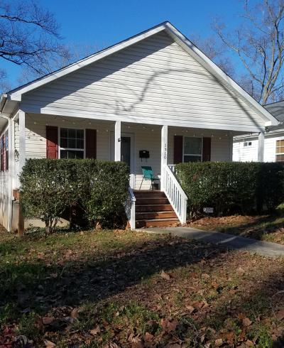
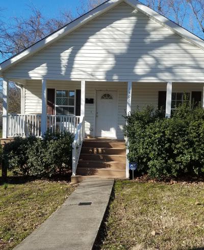
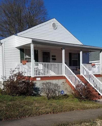
Development of Walltown, the rest of the Durham Consolidated Land and Improvement Company's holdings, occurred slowly. The San- born Insurance Maps of Durham reveal that most of the 900 and 1000 blocks of Onslow and Berkeley streets, occupying high, level ground, were built up at the same time that Trinity Heights took form in the first decade of the century. The presence in these blocks of two small frame churches, with the designation "negro" (no longer standing), indicates that the surrounding one-story frame dwellings, most of them a single room deep with a rear ell or shed and many of them developed as duplexes, formed a small black community. A few random houses situated in fields, and no longer standing, are reported to have predated these mapped houses. According to local tradition, the small L-shaped cottage at 1015 Onslow St. is the oldest building in Walltown. It is indicated on the 1913 Sanborn map and appears to date from the area's earliest development at the turn of this century. Three houses in the 1300 block of Engelwood Ave. are more characteristic of this initial period of Wall- town's development. Originally, all three houses were identical- one story, one room deep, with two rear sheds and a shed-roofed front porch supported by boldly turned posts.

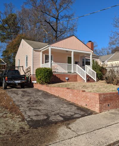
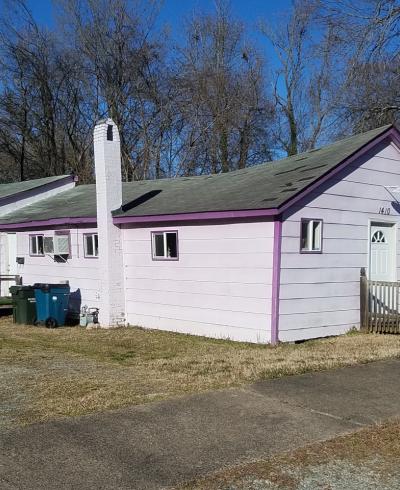
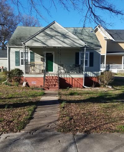
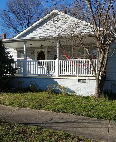
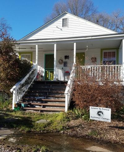
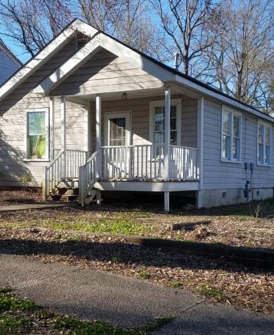
It was not until the late 1910s and early 1920s that rapid development expanded Walltown to its present boundaries. Similar to several other areas of Durham marked by less than desirable land, Walltown attracted developers who erected row after row of quickly and cheaply built rental houses. These were eagerly sought by the thousands of laborers drawn to Durham by its expanding tobacco industry. Naturally, development progressed from south to north, with the earlier houses situated closer to the trolley line. A great number of these houses are duplexes and all of them are frame construction. The most popular duplex built in the 1920s and 1930s has a gable front with an engaged or attached full-facade front porch supported by box or turned posts. Another pop- ular form of the economical duplex has a hipped roof and tall interior chimneys. Modest four- room bungalows with simple detailing of trian- gular gable-end brackets also appear throughout Walltown. This working-class neighborhood would not be complete without the shotgun house; a few variations of this basic house type are located on Berkeley St.

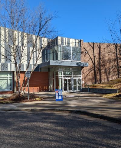
With the exception of increased traffic, particularly along W. Club Blvd. and W. Knox St., Walltown retains much of its original character. Modernization is evident in the paving, curbing and guttering of all of the neighborhood streets. A city dump and incinerator, located at the north edge of the neighborhood, has been converted to Walltown Park. The frame Walltown Graded School, built in 1919 according to the designs of the Durham architectural firm of Linthicum and Linthicum, was replaced in the 1960s by the brick Club Boulevard School. A few small neighborhood groceries may still be found scattered throughout the neighborhood. Many of the older houses have been altered with replace- ment siding and porch supports in efforts to repair and modernize them. While most of the houses south of W. Club Blvd. remain rental property, many to the north are owner occupied. Throughout Walltown, length and type of occupancy usually is evident on the exterior; carefully maintained houses and yards usually reflect owner occupancy and long-term tenancy. Most of the neighborhood is characterized by mature foliage that includes block after block of hardwoods overhanging the streets.