403 South St.

35.991149, -78.903561

403
Durham
NC
Year built
1890-1920
Year demolished
1967
Architectural style
Construction type
Neighborhood
Building Type
Can you help?
You don't need to know everything, but do you know the architect?
Log in or register and you can edit this.


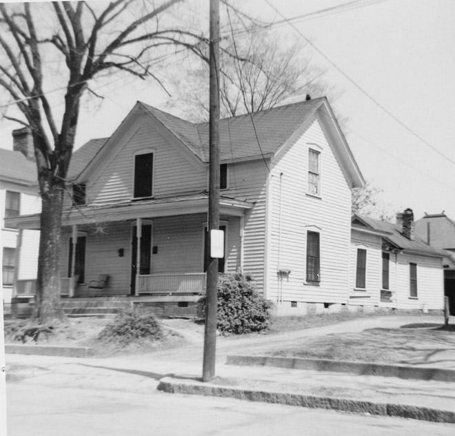
403 South St.
(Courtesy Durham County Library / North Carolina Collection)


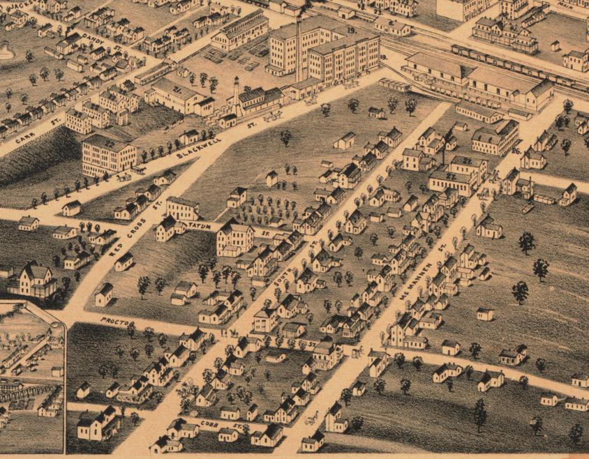
1891 Bird's Eye View of Durham, looking northwest.
(Courtesy Duke Rare Book and Manuscript Collection / Digital Durham)

The 400 block of South Street, extending south to Proctor St., was developed early in Durham's history, along with the adjacent McMannen St. - part of the north-south ridgeline extending south from Durham major NW-SE ridge. The houses were more sizable than those to the southwest, but not as embellished as those that came to be built on McMannen St.


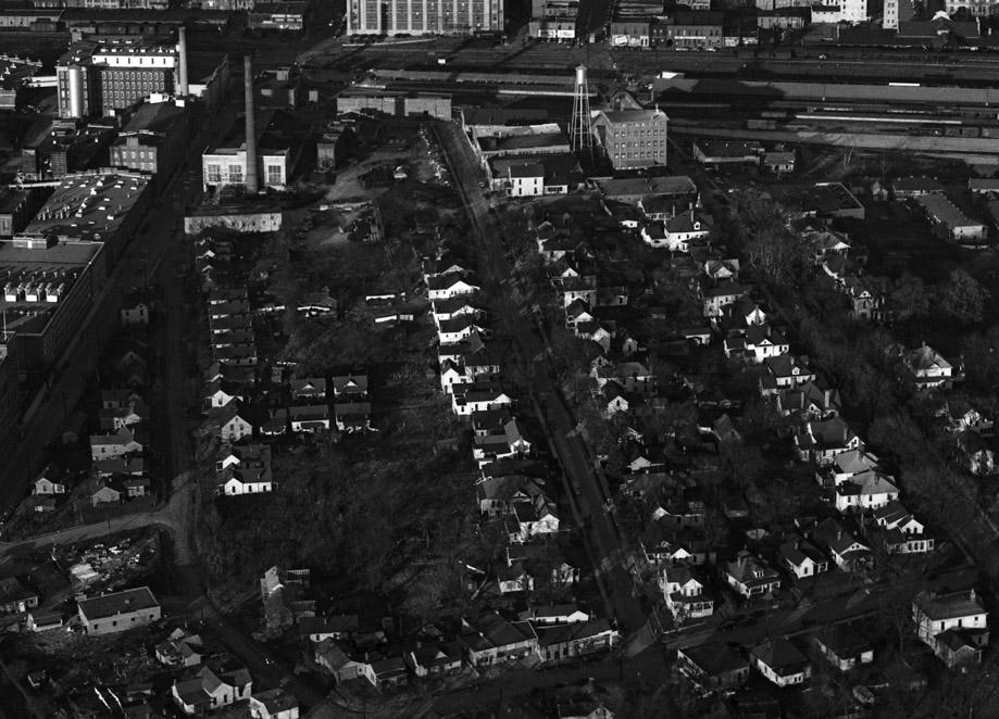
Looking north from Proctor St., ~1950
(Courtesy The Herald-Sun Newspaper)

The 400 block of South Street extended from Tatum Place south to Proctor Street.


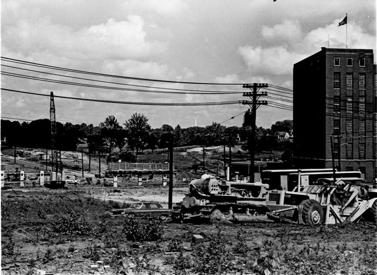
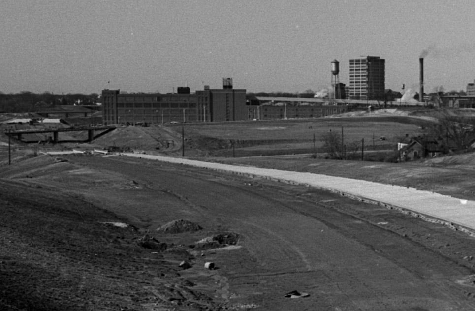
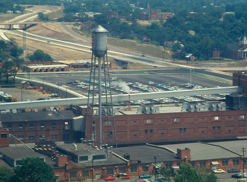
This block was demolished by the city of Durham using Federal urban renewal funds in the late 1960s. The northernmost portion of this block became part of an American Tobacco Company parking lot; the southernmost portion was absorbed by the Durham Freeway.


Expressway construction around the 400 block of South St., looking west, 06.07.67.
(Courtesy The Herald-Sun Newspaper)


Cleared land and the Freeway under construction, 02.07.69
(Courtesy The Herald-Sun Newspaper)


American Tobacco parking lot, and the freeway near completion, ~1970.
(Courtesy The Herald-Sun Newspaper)

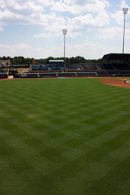
The northernmost portion of the block was made part of the Durham Bulls Athletic Park in 1995; the southern portion remains firmly buried underneath the Durham Freeway.


Looking south along the former path of the 400 block of South Street, 08.10.08.


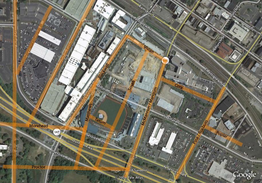
Historic street grid overlaid on 2007 satellite imagery.


35.990702 -78.904211

Add new comment

Log in or register to post comments.