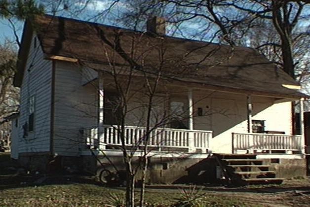
This millhouse was built around 1900-1910 as housing for millworkers at nearby Durham Cotton Manufacturing. Rows upon rows of identical houses lined the streets West and South of the mill.
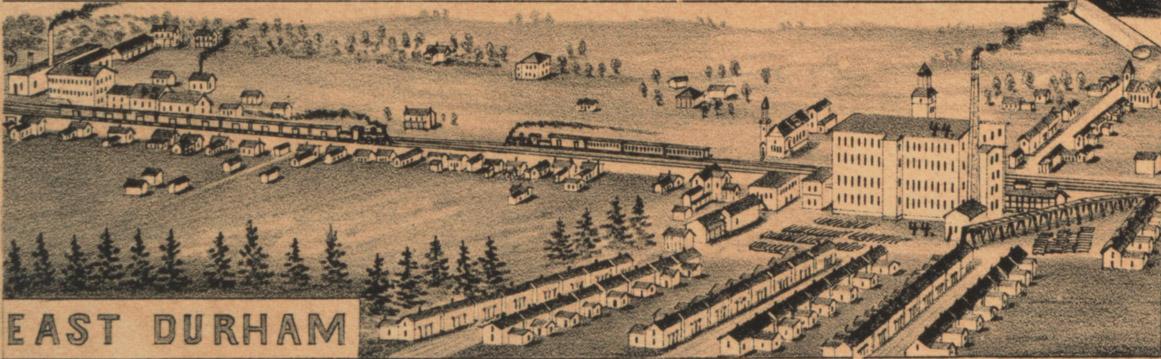
From the Bird's Eye view of Durham, 1891 - looking north.
(Courtesy Duke Rare Book and Manuscript Collection / scanned by Digital Durham)
Many different milworkers lived here throughout it's earliest years, although most of East Durham is not included in CDs until it was incorporated as part of Durham proper. Past residents include:
1926 Jesse H. Daniel, and maid Mamie Haskins
1927 Carl and Hattie Mitchell, and Mamie C. Haskins
1929 Samuel and Catherine O'Bane
1933 William A. and Catherine Guess (and family members Thelma, Charles, Atlas and Maggie)
1936-37 (newly widowed) Catherine, Atlas and Charles Guess
1943 Lessie White
1956 Timothy Young
This house, only somewhat recently demolished, was located on Joplin Street. In the past, Joplin Street was known as Glenn, and the street ran the length of East Durham (albeit not quite in a straight line) for 12 blocks. Glenn Street was home to both blacks and whites, a rarity in East Durham at the time. All of the streets in this section of town were unpaved, many up until 147 ran through. In fact, many streets in this little neighborhood started as homemade alleys or worn paths that workers would take on their way to work.
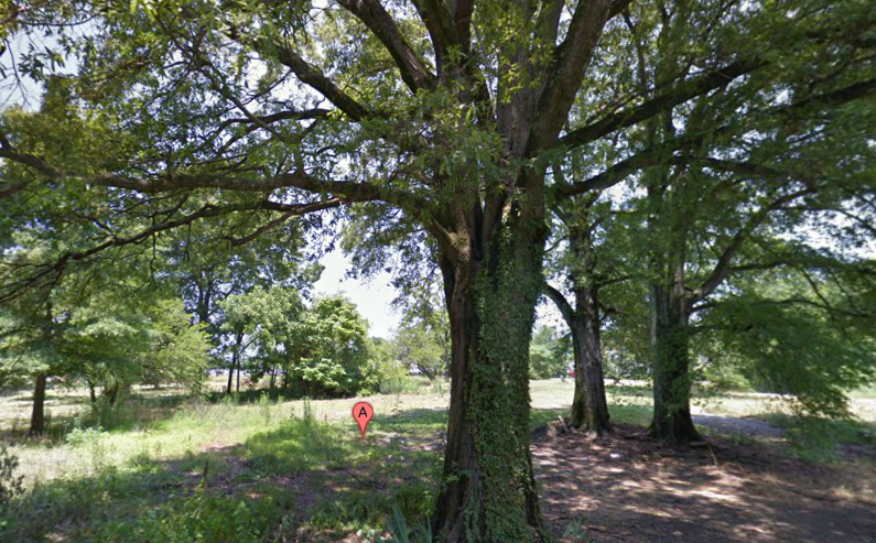
While much focus has been directed at how both Hayti and the Crest Street neighborhoods have been affected by the creation of the Durham Freeway, little attention has been put on this ittle pocket just to the northeast, trapped between the railroad and the freeway. What once was a bustling neighborhood connected to it's neighbors to the south, the streets surrounding the highway here are now all dead end forgotten streets with the exception of Bacon. On this large block of land above, none of the orginal houses have survived. In a way, rather than the railroad tracks being the line of separation for this section of neighborhood, the highway became that divider.
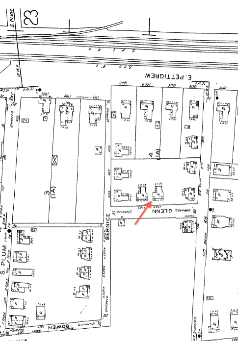
1937 Sanborn Map
Add new comment
Log in or register to post comments.