35.99707, -78.905365
The 'wide end' of the western Five Points was residential property until the early-mid 1920s
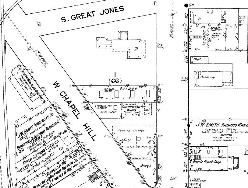
1913 Sanborn map showing the western triangle of Five Points and the large residential structure at its western end.
By 1925, the large house had been torn down, and the land was set for auction.
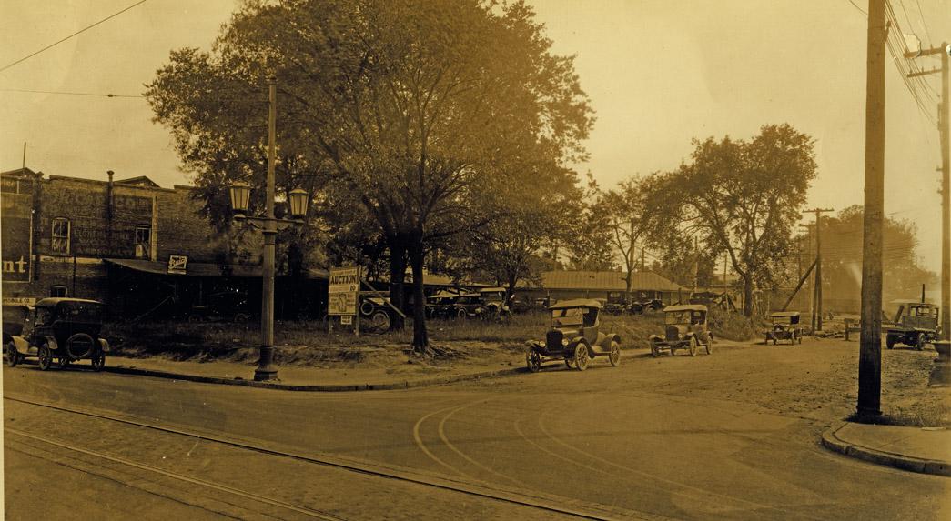
Looking southeast from Great Jones St. and West Main St., 09.30.25
The land was eventually subdivided into three parcels, two gas stations and a small commercial building.
The service station at the corner of Great Jones and West Chapel Hill Street was converted into a cool little office for the Booth real estate and insurance company by the early 1960s.
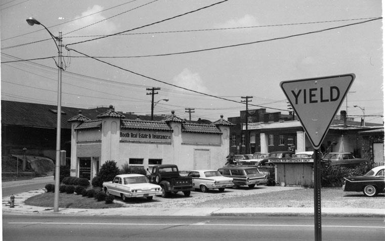
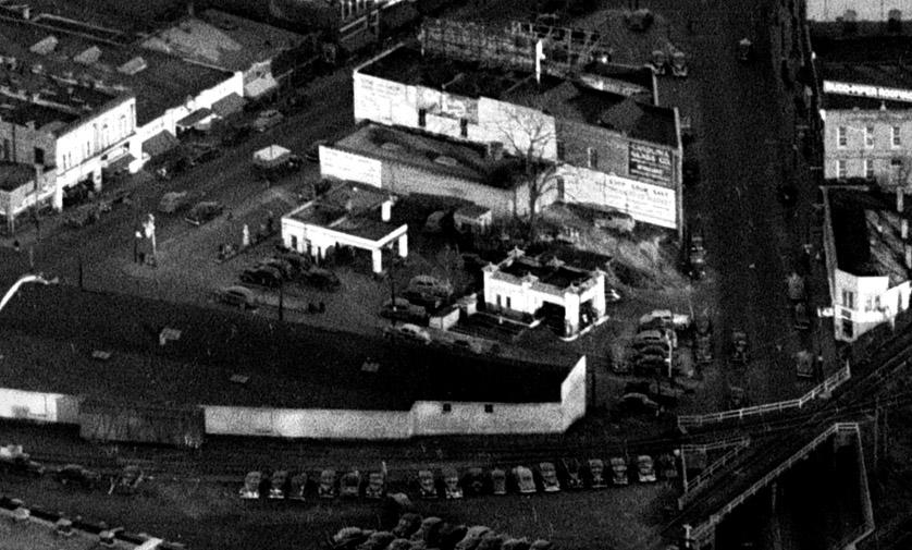
Looking northwest, 1968
(Courtesy Durham County Library / North Carolina Collection)
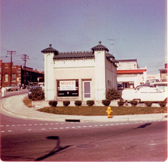
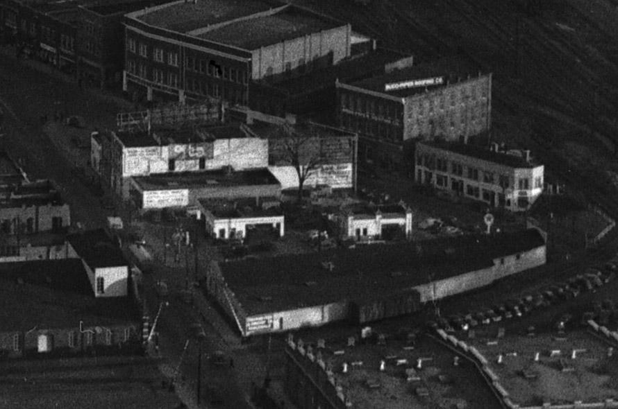
Looking north, ~1969.
(Courtesy Durham County Library / North Carolina Collection)
But the urban renewal folks had other ideas.
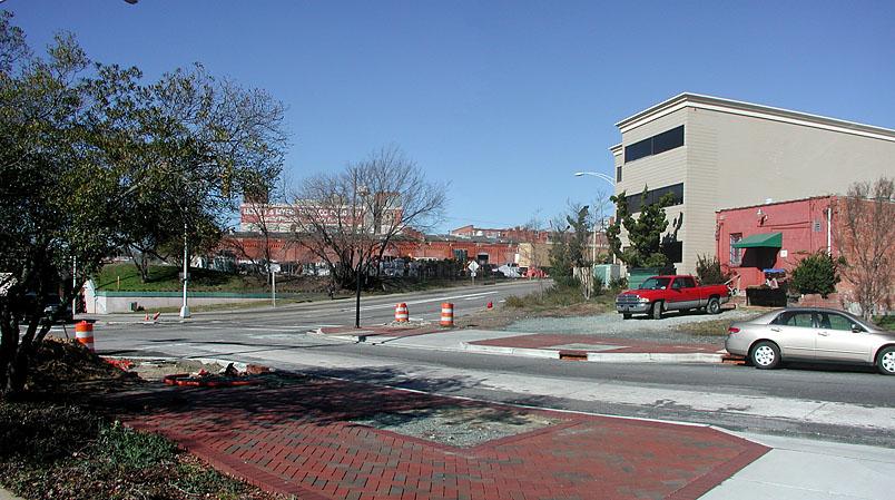
The combination of the railroad underpass and the Loop present a formidable psychological barrier to the pedestrian who would consider walking downtown from the West End. Two empty corners at Great Jones St. don't help.
Add new comment
Log in or register to post comments.